
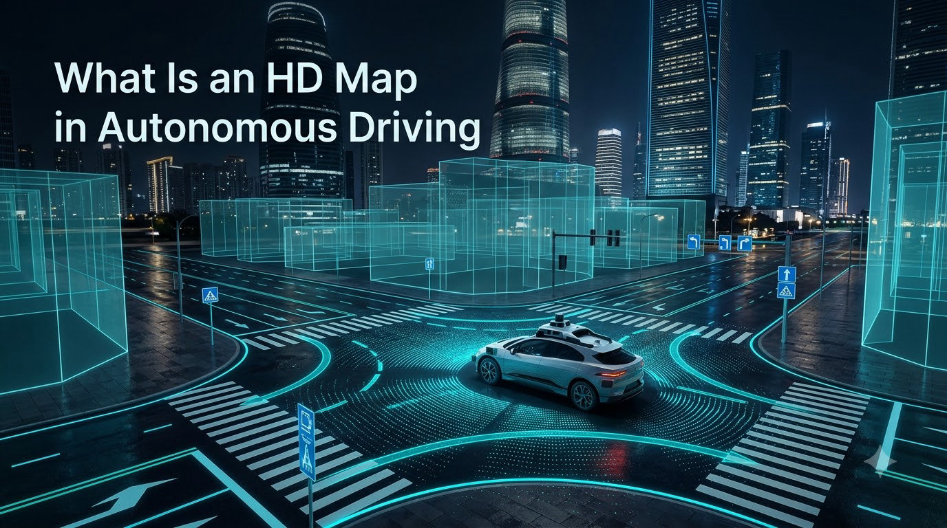
An HD map in autonomous driving is a centimeter-precise digital map that gives a self-driving car a highly detailed reference of the road, including lane geometry, traffic signs, and barriers. Without this kind of high-definition map, a vehicle cannot reliably localize itself or plan a safe path at highway speeds. I have spent the last several years reading industry white papers and speaking with mapping teams, and I can tell you that the HD map is one of the most underappreciated building blocks of any working autonomous system.
Most new readers confuse an HD map with Google Maps or Waze. They are not the same thing. A consumer navigation app shows you where to turn. An HD map tells the car exactly where every curb, lane line, and signpost sits in three-dimensional space. In this guide, I will walk you through what an HD map actually contains, how it gets built, and why it matters for the future of autonomous vehicle infrastructure.
Table of Contents
What Is an HD Map in Autonomous Driving?
An HD map (high-definition map) is a highly accurate digital map used in autonomous driving that captures road geometry, lane markings, traffic signs, and roadside features at centimeter-level precision. Unlike a standard navigation map, an HD map is built for machines, not human drivers, and it acts as a persistent reference layer that the car’s onboard software consults on every decision.
Think of it this way. When you drive a familiar road at night in the rain, you rely on memory to anticipate the upcoming curve. An autonomous vehicle has no such memory. The HD map plays that role. It tells the car, with mathematical certainty, that a lane merge is coming in 80 meters, that the speed limit drops to 45 mph, and that a crosswalk sits just beyond the crest of a hill.
The key characteristics that separate an HD map from a regular digital map are precision, semantic richness, and freshness. Precision means lane-level accuracy, often within 10 to 20 centimeters. Semantic richness means each element carries meaning, so the car knows the difference between a stop line and a yield line. Freshness means the map is updated regularly so that construction zones and new signage do not surprise the vehicle.
How Does an HD Map Work?
An HD map works by combining data from multiple sensors into a layered 3D model that the vehicle can match against its real-time sensor feed. The process has three main stages: data collection, map construction, and live localization.
During data collection, a mapping vehicle drives the route multiple times carrying LiDAR, cameras, radar, and GPS. Each pass produces a dense point cloud, a set of millions of three-dimensional coordinates that describe every surface the sensors can see. Companies like Waymo and HERE operate entire fleets of these mapping vehicles, much like the autonomous trucking efforts covered in PlusAI’s autonomous truck milestones.
During map construction, the raw point cloud is processed into several useful layers:
Geometric layer: the precise 3D shape of the road, curbs, and surrounding structures.
Semantic layer: labeled features such as lane lines, stop signs, crosswalks, and traffic lights.
Topological layer: how roads, lanes, and intersections connect, used for path planning.
Dynamic layer: short-lived information such as temporary construction zones.
During live localization, the car compares its current sensor reading to the stored HD map. If the two align within a few centimeters, the car knows exactly where it is, even on a road with no lane markings. This is why localization is often called the first job of any autonomous system.
Sensors Used to Build HD Maps
HD maps are built using sensor fusion, a combination of LiDAR, cameras, radar, and GPS, each contributing a different strength. No single sensor can produce a usable HD map on its own.
LiDAR provides the dense point cloud that gives the map its 3D shape. It works day or night and is accurate to a few centimeters. Cameras add color and texture, which is what makes the semantic layer possible. Cameras can read signs and distinguish between a dashed and solid lane line. Radar is less precise but works in heavy rain and fog, providing a backup geometry reference. GPS and inertial measurement units anchor the entire dataset to real-world coordinates so the map lines up with the global road network.
The mapping vehicle drives each corridor many times, in different weather and at different times of day. This redundancy is what gives the final HD map its robustness. When a user on the SelfDrivingCars subreddit asked whether LiDAR is necessary for self-driving, the most upvoted answer pointed out that LiDAR is what makes HD map creation practical at scale. Cameras can help refine the semantic layer, but LiDAR still does the heavy lifting for geometry.
Key Elements Stored in an HD Map
An HD map stores far more than a road outline. Each element is georeferenced and labeled, so the car understands both its shape and its meaning. The most common elements include road geometry, lane markings, traffic signs, traffic signals, barriers, crosswalks, and curvature information.
Road geometry describes the slope, banking, and curvature of the road surface, which matters for comfort and for predicting how the car will behave at speed. Lane markings include the type, color, and exact position of each line on the road, which lets the car know whether it can change lanes. Traffic signs and signals are stored as objects with their own coordinates and meanings, so the car can read them ahead of time even when a truck is blocking the view.
Barriers, medians, and curbs are recorded so the car can compute a safe driving corridor. Crosswalks and school zones carry semantic flags that raise the car’s caution level. Curvature data lets the vehicle pre-compute a comfortable speed before it actually enters a curve, which is something an autonomous mobile robot navigating a warehouse would also use to plan its path.
HD Map vs Traditional Navigation Map
An HD map differs from a traditional navigation map in precision, content, and purpose. A traditional map gets you from A to B. An HD map helps a machine understand the world around it. This is the most important distinction for anyone new to the field.
A standard map like Google Maps has a resolution of about 1 to 5 meters. That is fine for telling a driver when to turn. It is not fine for telling a car where the lane line ends. An HD map has a resolution of 10 to 20 centimeters, which is what makes lane-level accuracy possible. A traditional map only knows the road exists. An HD map knows how many lanes, how wide each lane is, and where the painted arrows are.
The update model is also different. Traditional maps can stay current for months. HD maps need frequent updates because a single new construction barrier can invalidate a section. As one mapping engineer put it in a forum thread, a stale HD map is worse than no map at all, because the car trusts it implicitly. That trust is the reason the major providers invest so heavily in fleet refresh and change detection.
Who Uses HD Maps? Real-World Examples
Waymo, Mobileye, HERE, TomTom, and Baidu are the leading companies building and consuming HD maps for autonomous driving. Each one uses the maps in a slightly different way depending on its business model.
Waymo builds and maintains its own HD maps for the cities where it operates robotaxi services, including Phoenix, San Francisco, and Los Angeles. Mobileye uses crowdsourced camera data from consumer vehicles to build its Road Experience Management HD map at a global scale. HERE and TomTom sell HD map data to automakers as a commercial product, covering major highways in North America, Europe, and Asia. Baidu operates its Apollo HD map for the Chinese market and has covered thousands of kilometers of urban roads.
One frequent question from readers is whether Waymo uses HD maps at all or relies entirely on its sensors. The honest answer is that Waymo uses both. The HD map gives the system a baseline expectation of the world, and the live sensor feed checks that baseline in real time. This is what industry insiders call a prior-plus-perception model, and it is the dominant design choice for any Level 3 or Level 4 system shipping today.
HD Map Challenges and Limitations
The biggest challenges with HD maps are cost, coverage, and freshness. Building an HD map is expensive because it requires specialized survey vehicles, large data storage, and constant updating. Coverage is limited to the areas that have been mapped, which is why most robotaxi services still operate inside geofenced cities. Freshness is the hardest problem of all, because roads change every day.
These limitations fuel the so-called mapless debate. Tesla is the most prominent advocate for a vision-only approach that does not depend on HD maps. The argument is that real-time perception will eventually be good enough to replace prior map data. The counter-argument, which I have heard from several mapping teams, is that a prior map lets the car handle edge cases, such as faded lane markings or a temporary detour, much more safely than perception alone.
For most teams building production autonomous systems in 2026, the practical answer is a hybrid. Use an HD map where it exists, fall back to real-time perception where it does not, and never let either source fully override the other. This is the same philosophy that mobile robotics teams have followed for years, and it is the one most likely to scale.
Frequently Asked Questions
What is an HD map?
An HD map (high-definition map) is a highly accurate digital map used in autonomous driving. It contains precise details about road geometry, lane markings, traffic signs, and barriers, achieving centimeter-level precision to help self-driving cars localize and plan safe paths.
How does an HD map work in a self-driving car?
An HD map works by combining data from multiple sensors, including LiDAR, cameras, radar, and GPS, to create a detailed 3D model of the road. The vehicle then matches its live sensor feed against this stored map to determine its exact position and plan its route.
Is LiDAR necessary for self-driving cars?
LiDAR is not strictly required for all self-driving systems, but it is the most practical way to build dense HD maps at scale. Camera-only systems can work, but they struggle more in low light and bad weather, and they need much more processing to extract equivalent geometry.
How are HD maps updated and maintained?
HD maps are updated using a combination of dedicated mapping vehicles, crowdsourced sensor data from consumer fleets, and automated change detection. Major providers refresh key corridors weekly or monthly, while less-traveled roads may be updated less often.
Does Waymo use HD maps?
Yes. Waymo builds and maintains its own HD maps for the cities where it operates. The HD map provides a baseline reference of the static world, and the vehicle’s live sensor feed verifies that the real world still matches the map before making any driving decision.
Final Thoughts on HD Maps in Autonomous Driving
An HD map is the memory layer that makes autonomous driving practical. It gives a self-driving car the kind of contextual awareness that human drivers build up over years, but with mathematical precision and perfect recall.
As we move through 2026, the trend is clearly toward hybrid systems that combine high-definition maps with real-time perception. The HD map will not disappear, and mapless approaches will not take over completely. The winners will be the teams that treat both as complementary sources of truth. If you are evaluating autonomous technology for your own work, focus less on the mapless-versus-mapped debate and more on how each system handles the moment the world does not match the map.