
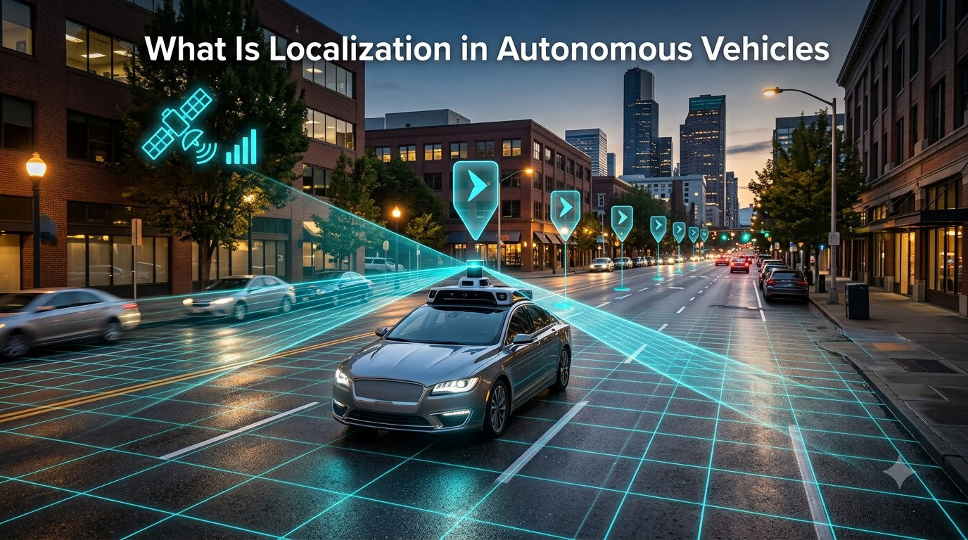
If you’ve ever wondered how a self-driving car knows exactly which lane it’s in, where the curb sits, and when to turn, the answer is localization. Localization in autonomous vehicles is the technical process that gives a car an answer to one simple question: where am I, right now, within a few centimeters?
I’ve spent weeks digging through research papers, OEM white papers, and engineering blogs to put together this guide. By the end, you’ll understand what localization means, why it’s a non-negotiable part of any self-driving stack, the sensors and algorithms that make it possible, and where the technology is heading next.
Table of Contents
What Is Localization in Autonomous Vehicles
Localization in autonomous vehicles is the process of determining a vehicle’s precise position and orientation (its “pose”) within a high-definition reference map. Where a regular GPS might place you within 5 to 10 meters, a self-driving car needs to know its position to within 10 centimeters or better, along with its heading, pitch, and roll.
That pose is what every other system on the car relies on. The perception module needs to know where to look for traffic lights. The path planner needs to know which lane the car occupies. The controller needs to know how to steer through a curve. Without centimeter-accurate localization, the rest of the autonomous stack has no frame of reference.
Localization vs Positioning: What’s the Difference
Positioning is the broad act of figuring out where something is. Localization is positioning in a known, mapped environment, with enough precision to drive safely. Your phone does positioning; a Waymo does localization.
This distinction matters because the automotive industry uses both terms. If you read an engineering paper on “global positioning” and a magazine article on “lane-level localization,” they’re talking about different accuracy tiers and different use cases.
Levels of Localization Accuracy
Engineers typically describe three levels of localization precision, and each one supports different driving capabilities:
- Road-level localization (1 to 5 meters): The car knows which road it’s on. This is enough for highway autopilot and basic navigation.
- Ego-lane localization (around 0.5 meters): The car knows which lane it’s in. This unlocks lane-keeping, lane changes, and on-ramp merging.
- Lane-level localization (under 20 centimeters): The car knows its exact position within the lane, including lateral offset. This is required for fully driverless robotaxi operation.
Most Level 3 and above autonomous systems target lane-level accuracy, because anything coarser creates a real safety risk when vehicles are sharing space with cyclists and pedestrians.
Why Localization Matters for Self-Driving Cars
Localization is the silent foundation of every autonomous driving decision. Get localization wrong, and the rest of the stack makes confidently incorrect decisions.
Here are the core benefits of accurate vehicle localization:
- Safety: The car can place itself precisely relative to road geometry, curbs, and other vehicles, reducing collision risk.
- Path planning: A planner needs to know the exact starting pose to compute a drivable trajectory through an intersection.
- Perception assistance: Knowing the pose helps the car predict where objects should appear in sensor data, filtering false positives.
- HD map anchoring: Pre-mapped landmarks (lane lines, signs, building corners) only help if the car can match them to the right spot in the world.
- Redundancy: If one sensor fails, good localization lets the car fall back to map-based reasoning for short periods.
Put simply, localization is what turns a pile of sensor data into a vehicle that understands its place in the world.
How Localization Works: The Step-by-Step Process
Most localization pipelines follow the same general flow, even when the underlying sensors differ. Here’s the typical sequence I see across Waymo, Cruise, Mobileye, and academic platforms.
- Data capture: The car collects raw measurements from GPS, LiDAR, cameras, radar, and IMU at high frequency (often 10 to 100 Hz per sensor).
- Pre-processing: Each sensor stream is cleaned. LiDAR points get motion-compensated, camera frames get de-warped, and IMU signals get bias-corrected.
- Feature extraction: The system pulls out recognizable patterns: lane markings, pole-like objects, building edges, point-cloud landmarks, or visual keypoints.
- Map matching: Those features are compared against a pre-built HD map. The algorithm searches for the position where the live data most closely matches the stored map.
- Pose estimation: A filter, usually an Extended Kalman Filter or particle filter, fuses the matched position with IMU and odometry data to estimate a smooth 6-DoF pose (x, y, z, roll, pitch, yaw).
- Confidence scoring: The system reports both the pose and an uncertainty estimate, so downstream modules can react when localization confidence drops.
That whole loop runs continuously, often several hundred times per second, to keep the pose estimate fresh enough to drive at highway speeds.
Key Technologies Used in Vehicle Localization
No single sensor can deliver reliable localization in every condition. That’s why self-driving cars use a mix of technologies, each covering a different weakness.
GPS and GNSS Receivers
Global Navigation Satellite Systems (GNSS), including the US GPS constellation, provide a global position estimate. Standard consumer GPS is accurate to about 3 to 5 meters, which is not enough for lane-level driving.
For autonomous vehicles, engineers use Real-Time Kinematic (RTK) or Precise Point Positioning (PPP) GNSS, which can hit 1 to 10 centimeter accuracy when correction data is available. Even so, GNSS signals are blocked in urban canyons, tunnels, and parking garages, so GPS alone is never the final answer.
LiDAR Localization
LiDAR sensors fire laser pulses and measure the time they take to bounce back, building a 3D point cloud of the surroundings. A localization algorithm can match that live point cloud against a pre-recorded HD map of the same area.
This approach, often called point cloud matching, is one of the most reliable ways to localize to within 5 to 10 centimeters. It works day or night but gets less reliable in heavy rain, snow, or fog, when laser pulses scatter.
Camera-Based Localization
Cameras capture rich visual information, including lane markings, traffic signs, and building features. Visual localization algorithms extract distinctive keypoints and match them against a stored visual map.
Camera-based localization is cheaper than LiDAR and uses less power, which is one reason Tesla has built its localization stack primarily around cameras. The trade-off is sensitivity to lighting changes, glare, and weather.
Inertial Measurement Units (IMU)
An IMU contains accelerometers and gyroscopes that measure linear acceleration and angular velocity. IMU data is integrated over time to estimate motion between GPS or LiDAR updates, which is called dead reckoning.
IMUs alone drift quickly, but combined with other sensors, they fill in the gaps when GPS drops out or LiDAR is briefly occluded. High-end automotive IMUs can be accurate enough to support lane-level positioning for several seconds without external input.
HD Maps and Their Role
HD maps, sometimes called high-definition maps, are the backbone of map-based localization. Unlike consumer navigation maps, HD maps include centimeter-level detail: lane boundaries, curb heights, traffic sign locations, signal positions, and 3D point clouds of roadside structures.
Localization compares live sensor data against these stored features to find the most likely position. The trade-off is that HD maps require constant maintenance, because construction, repaving, and new signage can render them stale within weeks.
Sensor Fusion in Autonomous Vehicle Localization
Sensor fusion is the glue that holds localization together. Instead of trusting any single sensor, the localization system combines measurements from many sources and weights them by their current reliability.
The dominant approach is the Extended Kalman Filter (EKF), which maintains a running estimate of the vehicle’s pose and updates it each time new sensor data arrives. Particle filters are an alternative, used when the position uncertainty is large or non-Gaussian, such as after emerging from a tunnel.
Sensor fusion gives autonomous vehicles two important properties: robustness and redundancy. If snow blinds the cameras, the system leans more on LiDAR and IMU. If a tall building blocks GPS, LiDAR and visual features take over. No single failure should knock localization offline.
Types of Localization Systems
Researchers generally group localization approaches into three categories, and each has its own strengths.
Conventional Localization
Conventional methods rely on hand-engineered features and classical filters. EKF-based GPS/IMU fusion, LiDAR scan matching with ICP (Iterative Closest Point), and visual feature matching all fall in this bucket. These systems are well understood, predictable, and easier to certify for safety.
Machine Learning-Based Localization
Deep learning has changed what’s possible. End-to-end networks can learn to localize directly from camera images, and transformer-based architectures can match LiDAR scans to maps without hand-crafted features. ML methods are especially strong in places where hand-engineered features fail, like unmarked rural roads.
The downside: ML systems can be opaque, which makes safety validation harder, and they need huge amounts of training data.
Vehicle-to-Everything (V2X) Localization
V2X localization pulls in data from other vehicles and roadside infrastructure. A car can share its pose with nearby vehicles, or use fixed roadside units (RSUs) as reference points. V2X is still rolling out, but it promises to extend localization accuracy into areas where single-vehicle sensing is weak, like rural intersections.
Challenges and Limitations of Current Localization
Localization in autonomous vehicles is far from solved. Here are the biggest issues engineers deal with today.
Urban Canyon GPS Failures
GPS signals bounce off tall buildings in dense cities, a phenomenon called multipath, or get blocked entirely. In places like downtown Manhattan or Hong Kong, GPS accuracy can swing from 2 meters to completely unavailable within a single block.
Adverse Weather
Heavy rain, snow, and fog affect nearly every sensor. LiDAR beams scatter in fog, cameras get blinded by glare or snow on the lens, and even radar returns become noisier. Localization accuracy typically drops in exactly the conditions where safety matters most.
HD Map Maintenance
HD maps go stale fast. A repaved road, a moved stop sign, or a new construction zone can throw off map matching. Maintaining a city-wide HD map in near real time is one of the operational headaches of running a robotaxi fleet.
Cost and Compute
High-precision localization requires expensive sensors (especially automotive-grade LiDAR) and significant onboard compute. That’s part of the reason Tesla has pushed a vision-only approach, since cameras are a fraction of the cost of a top-of-the-line LiDAR.
Adversarial Conditions and Edge Cases
Open parking lots, tunnels, and unmarked rural roads all break the assumption that distinctive map features are always available. Localization systems need fallbacks, like wheel odometry and IMU, to stay functional in these edge cases.
The Future of Localization in Autonomous Vehicles
Localization is evolving quickly. Here are the trends I think will shape the next five years.
Mapless and Light-Map Localization
The industry is moving toward lighter map dependencies. Instead of full HD maps, cars may localize against crowdsourced maplets, or use onboard perception to build a temporary map on the fly. Tesla’s vision-only approach is the highest-profile bet in this direction.
Deeper Machine Learning Integration
Neural networks are increasingly used for both feature extraction and end-to-end pose regression. The challenge is certification. Regulators and safety teams want predictable systems, so ML will likely sit alongside, not replace, classical filters for the foreseeable future.
V2X and Cooperative Localization
As more vehicles and roadside units connect through 5G and C-V2X, cooperative localization will become practical. A swarm of cars can share pose information, dramatically improving accuracy in places where single-vehicle sensing is weak.
Standardization and Safety Certification
ISO 21448 (SOTIF) and similar standards are pushing localization to be evaluated as a safety-critical function. Expect more published metrics, benchmarks, and minimum performance requirements from regulators over the next few years.
Frequently Asked Questions
What does robot localization mean?
Robot localization is the process of estimating a robot’s position and orientation within a known environment. In autonomous vehicles, this means pinpointing the car’s pose within a high-definition map to within a few centimeters.
What are the benefits of localization in self-driving cars?
Accurate localization improves safety by anchoring the car in the real world, supports path planning, assists perception by predicting where objects should appear, anchors the car to HD maps, and provides redundancy when individual sensors fail.
Why does Elon Musk not use LiDAR for localization?
Elon Musk and Tesla have argued that LiDAR is too expensive and unnecessary because cameras plus advanced neural networks can deliver the same localization and perception result. Critics point out that vision-only systems struggle more in bad weather and low-light conditions where LiDAR still works reliably.
How do driverless cars know where to go?
Driverless cars combine GPS, LiDAR, cameras, radar, and IMU data, then match that sensor input against pre-built HD maps. The localization system runs a sensor-fusion filter to estimate the car’s pose in real time, and the planning module uses that pose to choose a path to the destination.
Can GPS alone provide enough accuracy for autonomous driving?
Standard consumer GPS is only accurate to 3 to 5 meters, which is not enough for lane-level driving. Autonomous vehicles use RTK or PPP-corrected GNSS to reach centimeter accuracy, but even then GPS is combined with LiDAR, cameras, and IMU because signals drop out in tunnels, parking garages, and urban canyons.
What sensors are used for vehicle localization?
Self-driving cars typically use a combination of GPS/GNSS, LiDAR, cameras, radar, and inertial measurement units. Each sensor covers a different weakness, and sensor-fusion algorithms combine their outputs into a single, robust pose estimate.
Final Thoughts on Localization in Autonomous Vehicles
Localization in autonomous vehicles is one of those technologies that nobody notices when it works, and a source of major problems when it doesn’t. It combines sensors, software, and high-definition maps into a real-time pose estimate accurate to within a few centimeters, and every other piece of the self-driving stack depends on that estimate being right.
Whether the industry ends up at multi-sensor fusion, vision-only, or cooperative V2X, the goal is the same: a localization system that is robust, redundant, and certified safe enough to trust with human lives. We’ve covered a lot of ground here, from the basic definition of localization to the algorithms, sensors, and trade-offs that define the field today. If you want to dig deeper, the NVIDIA DRIVE Labs blog and the ResearchGate survey on localization for autonomous vehicles are both excellent next steps.