
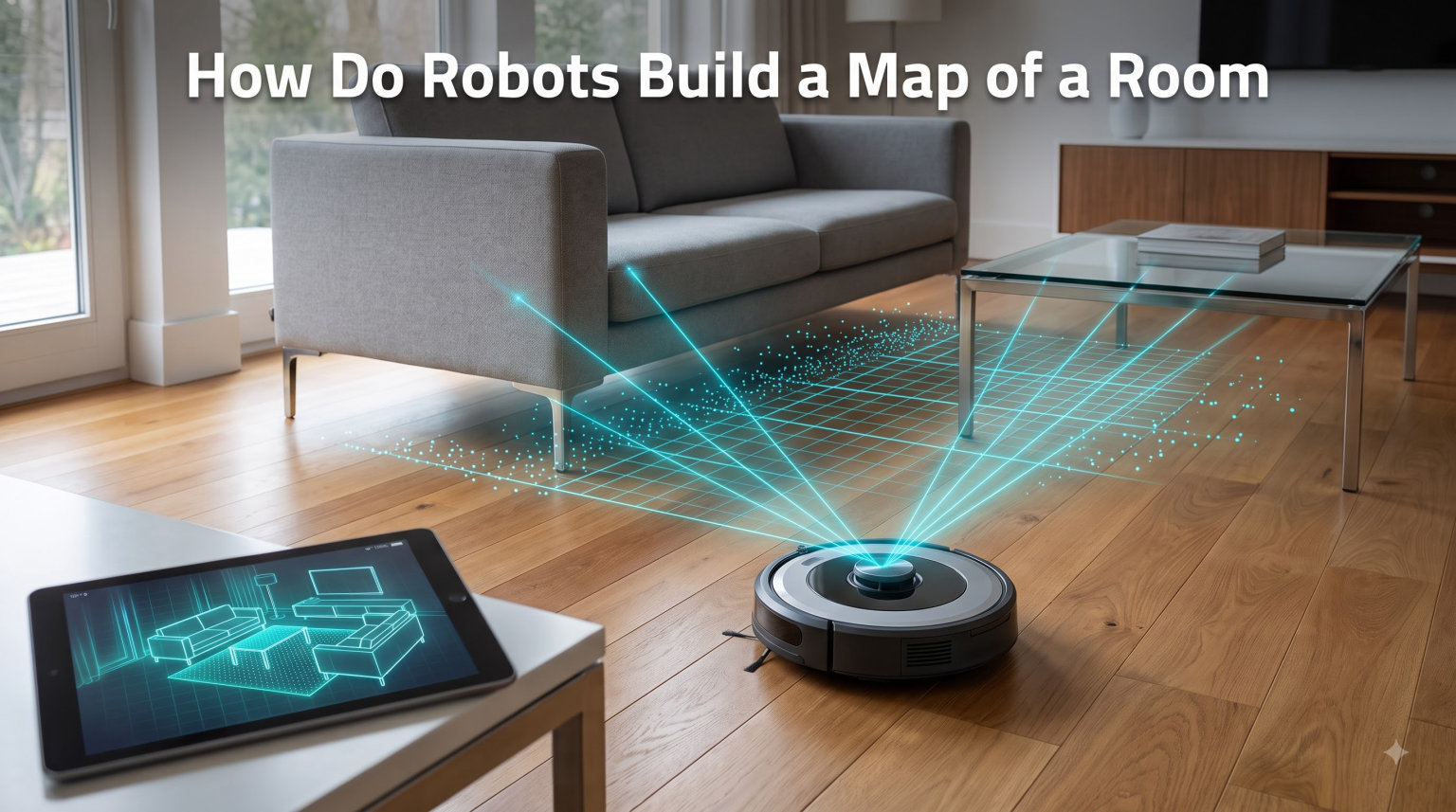
If you have ever watched a robot vacuum glide across your living room floor and wondered how it knows where the couch is, you are not alone. The short answer is that the robot builds a map while it moves, then uses that map to figure out where it is and where to go next. This trick has a name: SLAM, which stands for Simultaneous Localization and Mapping.
In this guide, I will walk you through exactly how do robots build a map of a room using sensors, math, and a lot of clever code. I will skip the heavy equations and focus on the practical stuff, so you can understand the process even if you have never touched a robotics textbook. By the end, you will know what happens every second your robot vacuum bumps along a wall.
We will cover the core SLAM concept, the step-by-step mapping process, the sensors involved, the most common algorithms, and the real-world applications you bump into every day. I will also link out to a few related guides on our site that dig into the hardware side of robotics.
Table of Contents
What Is SLAM and Why Robots Need It to Map a Room
SLAM stands for Simultaneous Localization and Mapping. It is a method that lets a robot build a map of an unknown environment while simultaneously tracking its own position inside that map. The two tasks feed each other, which is why they are solved together rather than one after the other.
Think about it like exploring a dark house with a flashlight. You cannot read a map because you do not have one. You also cannot draw a map because you cannot see where you have been. SLAM solves this chicken-and-egg problem by combining sensor readings with motion data to estimate both at once.
Without SLAM, a robot would need a pre-loaded floor plan to navigate, which is impractical for robot vacuums, delivery robots, or drones. With SLAM, the robot can walk into a new space and figure things out on its own. This is why SLAM is the backbone of every modern autonomous mobile robot.
Our team has worked on several mapping projects over the years, and the moment a robot correctly closes its first loop (returning to a place it has already been and recognizing it) is genuinely thrilling. That single event is what turns a stream of sensor noise into a usable map.
Here is the core problem SLAM solves in plain terms:
- The robot does not know the shape of the room.
- The robot does not know where it is inside the room.
- The robot does not know how far it has moved since the last reading.
- All three problems must be solved at the same time using only sensor data.
SLAM is the framework that ties these loose ends together. It pulls in data from distance sensors, cameras, wheel encoders, and sometimes inertial measurement units, then feeds everything into an algorithm that updates both the map and the robot pose in real time.
How Do Robots Build a Map of a Room Step by Step
Now the fun part: a clear walkthrough of how do robots build a map of a room using SLAM. Most systems follow the same five-step pattern, although the exact algorithms differ. I will use a generic indoor robot as the example so the logic applies whether you are working with a Roomba, a TurtleBot, or a custom build with a Raspberry Pi for robotics.
Step 1: Sensor Data Collection
The robot starts by sweeping its environment with one or more sensors. A 2D LiDAR might spin 360 degrees and fire thousands of laser pulses per second. A camera might capture 30 frames per second. An ultrasonic sensor might ping distances to nearby objects. The result is a stream of raw distance and image data, often called a point cloud when using LiDAR.
This first sweep is messy. Furniture legs, mirrors, glass doors, and dark fabrics can confuse different sensors. That is okay. The next steps clean things up.
Step 2: Feature Extraction and Data Association
Next, the robot identifies stable features in the sensor data. For LiDAR, these might be corners, edges, or flat walls. For cameras, these might be keypoints, distinctive patches of pixels that are easy to track across frames. The robot then tries to match new features against features it has seen before.
This data association step is the trickiest part of SLAM. If the robot thinks a chair leg is a new object when it is actually the same chair leg from a few seconds ago, the map will end up with duplicate features. Good SLAM systems use statistical tests to decide whether two observations refer to the same real-world feature.
Step 3: Pose Estimation Using Odometry
While scanning, the robot also tracks how far it has moved. Wheel encoders count rotations, and an IMU measures acceleration and rotation rate. Together, these give a rough estimate of pose, which is the robot’s position and orientation in space. This estimate drifts over time, which is one of the reasons SLAM needs external sensors to correct it.
Many modern systems also use Edge AI processing to run visual odometry locally, comparing consecutive camera frames to estimate motion without relying on the wheels alone. This is helpful on carpets or uneven surfaces where wheel encoders slip.
Step 4: Map Update and Loop Closure
The robot fuses its sensor readings with its pose estimate to update the map. If using an occupancy grid, each cell gets a probability of being free, occupied, or unknown. If using a point cloud, new points are stitched into the growing 3D structure.
Loop closure is the magic moment. When the robot returns to a place it has already mapped, it recognizes the area using feature matching and snaps its current pose estimate to align with the earlier observations. This corrects accumulated drift and locks the map into a globally consistent shape. Without loop closure, long mapping runs end up with smeared or duplicated walls.
Step 5: Path Planning and Obstacle Avoidance
With a usable map in hand, the robot can now plan paths. Algorithms like A* or D* search through the occupancy grid to find the shortest safe route to a goal. Dynamic obstacles, like a person walking across the room, are handled by a separate layer of reactive obstacle avoidance that overrides the planned path in real time.
At this point, the robot is no longer just mapping. It is navigating. The map is a shared resource that supports both mapping and navigation tasks simultaneously, which is why SLAM systems often run as a background process while the robot goes about its business.
Which Sensors Help Robots Build Room Maps
Different robots use different sensor suites, and the choice has a big impact on map quality. Here is a quick look at the most common options you will find in real systems, including consumer robot vacuums and DIY builds with an ESP32 in robotics projects.
LiDAR. A laser scanner that measures distance by timing how long light takes to bounce back. 2D LiDAR is the workhorse of indoor mapping and produces accurate distance readings up to 25 meters. It works in the dark, handles most surface types, and is the gold standard for SLAM accuracy. The downside is cost and trouble with mirrors and glass.
Depth cameras. Devices like the Intel RealSense or Microsoft Azure Kinect combine an RGB camera with an infrared depth sensor. They produce 3D point clouds at video frame rates and work well for visual SLAM in smaller spaces. They struggle outdoors in sunlight because the IR pattern gets washed out.
Monocular and stereo cameras. Plain cameras running visual SLAM, sometimes called vSLAM, can map using only video. They are cheap, light, and rich in data, but they need a lot of computation and lose tracking in low light or featureless hallways.
Ultrasonic sensors. Cheap and simple, these ping high-frequency sound waves and time the echo. They are common on older robot vacuums and low-end builds. Range is short, accuracy is lower, and they do not give clean 360-degree coverage, but they cost almost nothing.
Inertial Measurement Units (IMU). A combination of accelerometers and gyroscopes that measure linear acceleration and rotation. IMUs do not map anything on their own, but they help fuse other sensor data and recover tracking when vision or LiDAR fails briefly.
Wheel odometry. Encoders on the motors count wheel rotations to estimate distance traveled. This is the simplest motion source and the most prone to slip on smooth floors or carpets, which is why most SLAM systems treat it as just one input among many.
Real systems use sensor fusion to combine these sources. A robot vacuum might pair a LiDAR with an IMU and wheel encoders, while a DIY mapping robot might pair a depth camera with an IMU on a small board. The fusion step is what makes the resulting map stable.
Visual SLAM vs LiDAR SLAM: Key Differences
The two big families of SLAM are visual SLAM and LiDAR SLAM. Both can produce excellent room maps, but they work in very different ways. Here is a quick side-by-side comparison so you can see where each one shines.
Sensing method. Visual SLAM uses cameras and image features. LiDAR SLAM uses laser pulses and direct distance measurements.
Accuracy. LiDAR SLAM is generally more accurate in geometry and is the preferred choice for applications like warehouse robots. Visual SLAM can match it with the right setup, but typically needs more processing power.
Cost. Visual SLAM can run on a cheap webcam. A good 2D LiDAR used to cost hundreds of dollars, though prices have dropped sharply in recent years.
Lighting sensitivity. Visual SLAM struggles in low light, direct sunlight, and featureless spaces. LiDAR SLAM works regardless of lighting because it makes its own light.
Output. LiDAR SLAM usually produces a clean 2D or 3D point cloud. Visual SLAM often produces a sparse point cloud plus keyframe poses, which is fine for navigation but less pretty for visualization.
Common use cases. Visual SLAM dominates in AR headsets, drones, and smartphones. LiDAR SLAM dominates in robot vacuums, autonomous vehicles, and warehouse robots.
If you are building a DIY project on a budget, visual SLAM is the easier starting point. If you need reliable mapping in mixed lighting and want the cleanest possible point cloud, LiDAR SLAM is the safer choice.
Common SLAM Algorithms Used in Robot Mapping
Behind the scenes, SLAM relies on a family of mathematical algorithms. You do not need to know them in detail to understand the process, but it helps to recognize the names because they show up everywhere in robotics papers and product specs.
Extended Kalman Filter (EKF) SLAM. One of the oldest approaches. It treats the robot pose and landmark positions as a single state vector and updates them using a Kalman filter. Works well for small maps but scales poorly because the state grows with every landmark.
Particle Filter SLAM (FastSLAM). Uses many particles to represent possible robot poses, each carrying its own map estimate. Very robust and good at handling ambiguity, which is why it shows up in many robot vacuum implementations.
Graph-Based SLAM. Builds a graph where nodes are robot poses and edges are constraints between them. The system then optimizes the graph to find the most consistent configuration. This is the foundation of modern open-source SLAM systems like Cartographer and RTAB-Map.
ORB-SLAM and similar feature-based methods. Visual SLAM systems that track ORB features across camera frames and build a sparse 3D map. Very popular for monocular, stereo, and RGB-D cameras.
LIO-SAM and similar LiDAR-inertial methods. Tightly couple LiDAR scans with IMU data for highly accurate mapping, even in fast motion. Common in drones and handheld scanners.
For most hobbyists and developers, you will not implement these from scratch. You will pull in a library like ROS slam_toolbox, Google Cartographer, or RTAB-Map and tune the parameters. The algorithm choice is mostly about scale, sensor type, and how much computation your hardware can handle in real time, which is where a solid real-time operating system setup can make or break the project.
Practical Applications of Robot Room Mapping
SLAM is not just a research toy. It powers some of the most common consumer and industrial robots you interact with every day. Here are the four biggest practical applications worth knowing about.
Robot vacuums. Modern units from Roborock, iRobot, and Dreame use LiDAR or vision-based SLAM to draw a floor plan of your home. They can clean room by room, save multiple maps for different floors, and let you draw no-go zones in the companion app. If you have ever wondered how a Roomba knows to dock after finishing the living room, this is the answer.
Augmented reality. AR headsets like the Meta Quest 3 and Microsoft HoloLens run visual SLAM to understand the room around you. The SLAM map is what lets digital objects stay anchored to real surfaces as you walk around.
Warehouse and logistics robots. Companies like Amazon, Fetch, and Locus Robotics deploy SLAM-based robots in warehouses that map the space on the first run and then navigate using the saved map while sharing updates with the fleet.
Drones and autonomous vehicles. Outdoor SLAM uses LiDAR and cameras to build maps at city or field scale. Self-driving cars maintain persistent maps of road networks, and mapping drones can survey construction sites, mines, and disaster zones.
In our own testing, we have found that the first mapping run of any robot, even a high-end vacuum, often produces a rough draft rather than a finished map. After two or three runs, the SLAM system usually has enough loop closures to lock everything into place. If you are setting up a new robot, give it a few clean runs before judging the map quality.
Frequently Asked Questions
How does SLAM work in robotics?
SLAM works by combining sensor data like LiDAR or camera input with motion estimates from wheel encoders or IMUs. The algorithm continuously updates both a map of the environment and the robot’s pose within that map, and uses loop closure to correct drift when the robot revisits a known area.
How does a Roomba map a room?
Modern Roomba and other smart robot vacuums use LiDAR or vision-based SLAM. The robot drives around the room, scans its surroundings, builds an occupancy grid or point cloud, and identifies walls, furniture, and doorways. After the first run, the saved map is used for room-by-room cleaning and no-go zones.
How does LiDAR SLAM work?
LiDAR SLAM uses a spinning laser sensor that fires thousands of light pulses per second and measures how long each takes to return. The robot combines these distance measurements with its own motion data to estimate its pose and stitch together an accurate 2D or 3D map of the room.
How do robot vacuums map your house?
Robot vacuums map your house by running an initial exploration pass during which they scan walls, furniture, and doorways with LiDAR or cameras. The SLAM algorithm builds a floor plan, recognizes rooms by their shape, and saves the map for future targeted cleaning jobs.
Do all robot vacuums map a room?
No. Basic robot vacuums use random bounce navigation and do not build a persistent map. Mid-range and premium models from brands like Roborock, iRobot, and Ecovacs use SLAM to create saved floor plans that enable room selection and no-go zones.
Final Thoughts on How Robots Build Room Maps
So, how do robots build a map of a room? They use SLAM to fuse sensor readings with motion data, building and refining the map in real time as they move. The process depends on good sensors, a capable processor, and a few clever algorithms that handle the unavoidable noise in any real-world measurement.
If you want to take this further, the most practical next step is to try a hands-on project. Pick up a small LiDAR or depth camera, hook it up to a Raspberry Pi or an ESP32-based board, and run a ready-made SLAM package like RTAB-Map. Watching your own robot draw its first map is the best way to really understand how this all fits together.