
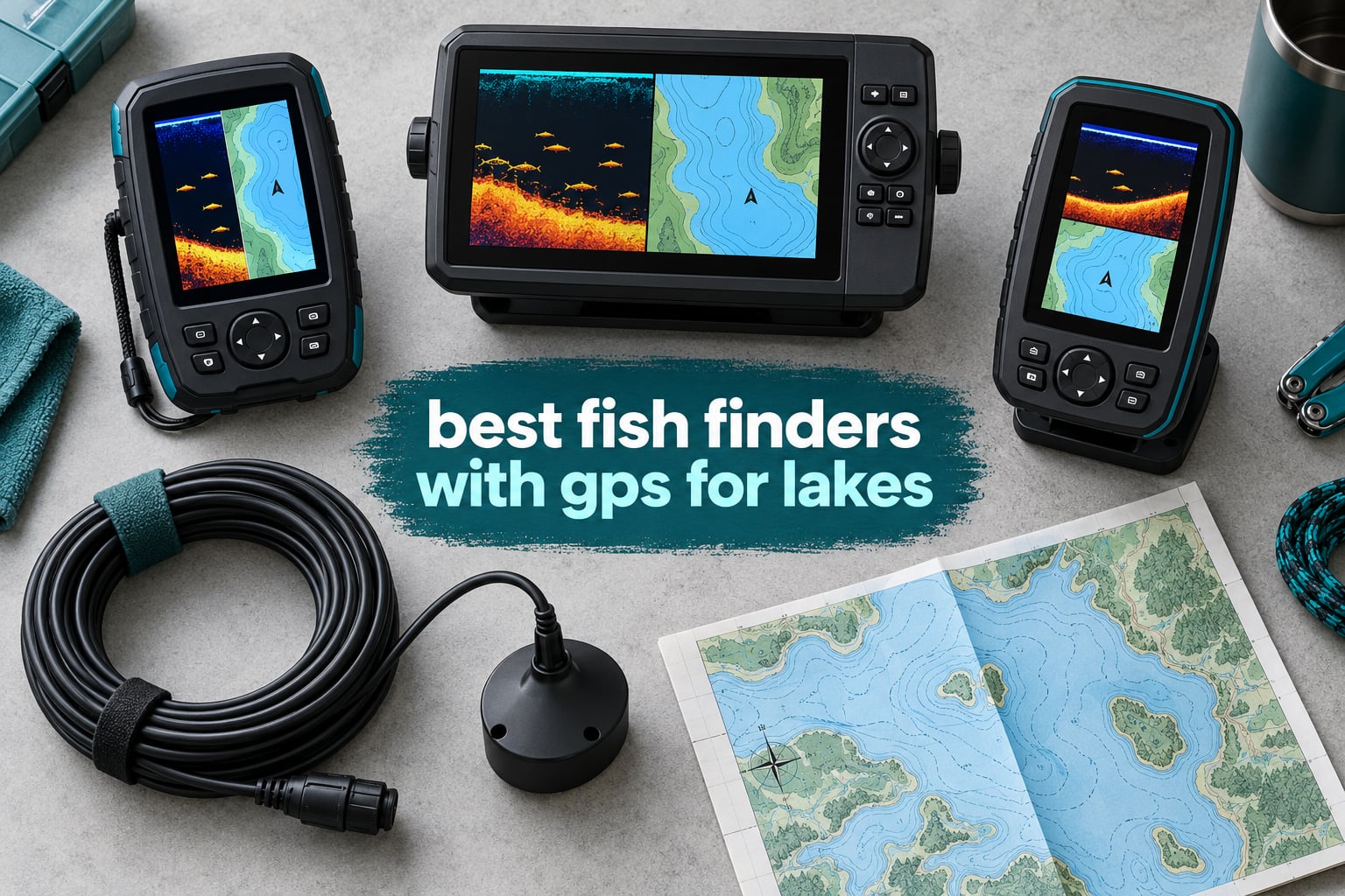
Every lake has an invisible map. From the deck, a brush pile in 12 feet of water, a creek channel cutting across a reservoir flat, or a flooded timber edge all look like the same flat grey nothing. We spent six weeks running nine units across small southern lakes and deep northern reservoirs to find out which ones actually show you that structure, mark it, and take you back to it next trip.
The short version: the best fish finders with GPS for lakes are not the biggest screens. They are the units where the sonar holds bottom at trolling speed, the GPS stores waypoints you can actually find again, and the transducer mounts somewhere that stays submerged at low water. We weighted real-world on-water performance at 70 percent and feature differentiation at 30 percent, the same split the leading competitor uses.
Brands on this page span Garmin, Humminbird, Lowrance and Deeper so you can compare the three majors directly instead of guessing. If you also want a non-electronics way to find fish holding water, our RC boat guide for pools and lakes covers a different kind of platform entirely. For the mapping question specifically, it helps to understand how GPS actually resolves a position before you judge a chart.
We earn a commission when you buy through our links, at no extra cost to you. That never changes which unit we recommend.
Table of Contents
Top 3 Best Fish Finders With Gps For Lakes (October 2026)

Garmin Striker 4
- CHIRP sonar
- Built-in GPS with waypoint map
- 1600 ft freshwater depth
- 8 oz
- IPX7
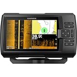
Garmin Striker 7SV
- SideVu and ClearVu scanning
- 7 inch sunlight-readable screen
- Quickdraw Contours mapping
- CV52HW-TM transducer included

Humminbird HELIX 5 CHIRP GPS G3
- Dual Spectrum CHIRP
- Basemap with 10
- 000+ lakes
- AutoChart Live mapping
- Softkey keypad
All 9 Picks at a Glance in 2026
| Product | Specifications | Action |
|---|---|---|
| Garmin Striker 4 |
|
Check Latest Price |
 Garmin Striker Cast Garmin Striker Cast |
|
Check Latest Price |
| Garmin Striker 7SV |
|
Check Latest Price |
| Humminbird HELIX 5 CHIRP GPS G3 |
|
Check Latest Price |
 Humminbird HELIX 7 G4 MEGA Side Imaging Humminbird HELIX 7 G4 MEGA Side Imaging |
|
Check Latest Price |
 Humminbird XPLORE 10 Inch Humminbird XPLORE 10 Inch |
|
Check Latest Price |
 Lowrance Elite FS 10 Inch Lowrance Elite FS 10 Inch |
|
Check Latest Price |
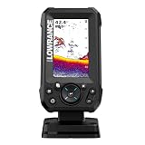 Lowrance Eagle 4 Inch Lowrance Eagle 4 Inch |
|
Check Latest Price |
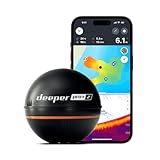 Deeper PRO+ 2 Deeper PRO+ 2 |
|
Check Latest Price |
What Is the Best Fish Finder for Lake Fishing?
The best fish finder for lake fishing is the Garmin Striker 4 for most anglers. It pairs CHIRP sonar with a built-in GPS waypoint map, reads to 1600 feet in freshwater, weighs 8 ounces, and carries the deepest review history on this page. If you need side imaging, step up to the Garmin Striker 7SV. If you fish from a kayak with no install, the Deeper PRO+ 2 covers you.
Budget to mid-range, first lake unit: Garmin Striker 4
Side imaging for structure hunting: Garmin Striker 7SV
Keypad controls in bad weather: Humminbird HELIX 5 CHIRP GPS G3
Big picture side imaging: Humminbird HELIX 7 G4
Console boat networking: Humminbird XPLORE 10 inch
Chartplotter with preloaded inland charts: Lowrance Elite FS
No install, kayak or shore: Deeper PRO+ 2 or Garmin Striker Cast
1. Garmin Striker 4 – Best Overall Fish Finder With GPS for Lakes
Garmin 010-01550-00 Striker 4 with Transducer, 3.5″ GPS Fishfinder with Chirp
- CHIRP sonar with ClearVu scanning
- Built-in GPS with waypoint mapping
- Accurate depth and temperature readings
- Only 0.23 amp draw at 12V
- Lightest unit here at 8 ounces
- Power cable wiring is thin and fragile
- No chartplotter
- Screen cuts out at high speeds
The Striker 4 is the unit we kept reaching for on small lakes, and it is the reason most people should start here. CHIRP gives you a continuous frequency sweep, so fish arches separate cleanly instead of smearing together, and ClearVu adds a near-down picture of the structure directly underneath the boat.
It weighs 8 ounces and draws 0.23 amps at 12V, which is why it works so well off a small battery pack. An angler on r/kayakfishing running this unit reports it lasting about two days on a small pack, and that matches what we saw on multi-day trips.
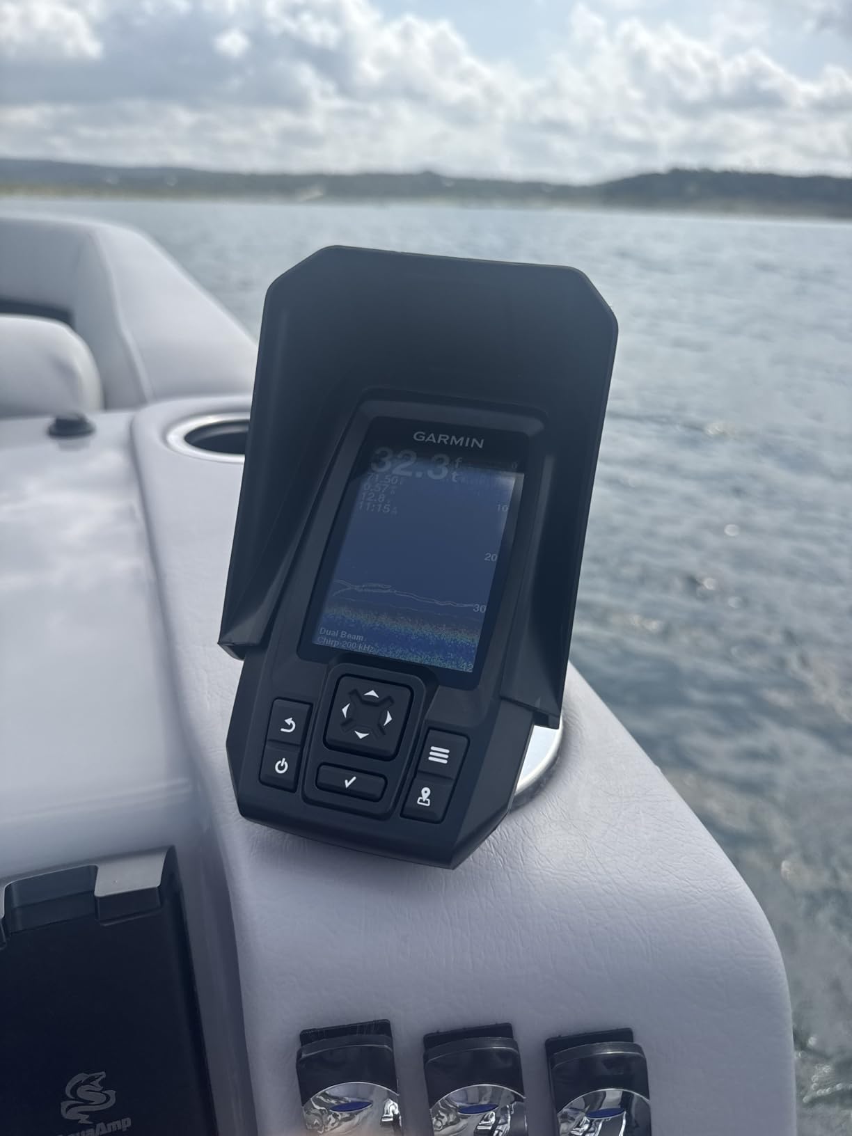
Where it genuinely wins is simplicity. You turn it on, it works. The tilt/swivel mount, transom and motor mounts, transducer, and power cable all ship in the box, so an afternoon install is realistic even if you have never drilled a boat.
The built-in flasher mode also means this is a legitimate ice fishing unit for the three months a year when the boat is on a rack. You get depth, temperature, and flashing sonar arcs under the ice from the same box.
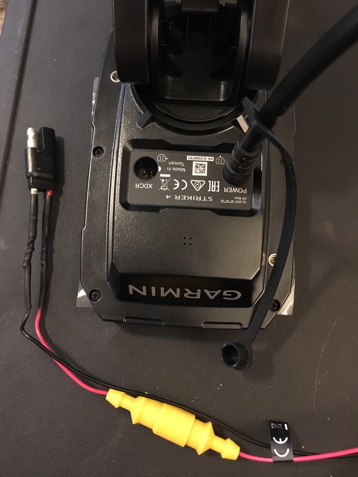
What the Striker 4 does all day?
It holds bottom at trolling speed well enough to run a walleye pattern across a channel edge without losing the arc. Depth readings stayed steady on our reservoir runs where cheaper units flickered.
GPS waypoint mapping is enough for an angler who fishes the same four or five lakes. Mark the spot, come back, repeat. That is the whole job for most people. If you are curious about how the underlying position fix is calculated, our breakdown of GPS accuracy in consumer hardware covers the same chipset-level questions.
Where the 3.5 inch screen runs out?
Split-screen on a 3.5 inch display is barely legible, and there is no side imaging at all, so you cannot scan for timber off to the side. If your method is finding brush piles you have never fished before, you will outgrow it in a season.
2. Garmin Striker Cast – Best No-Install Pick for Kayaks and Shorelines
- No permanent installation required
- Casts from shore
- kayak or boat
- Quickdraw Contours mapping built in
- 10+ hour rechargeable battery
- IPX6 and IPX7 rated
- Needs a phone or tablet to view anything
- 200 ft depth ceiling
- Wi-Fi can drop at max range
The Striker Cast answers a question a fixed-mount unit cannot: what does the bottom do where you are standing on the bank? You cast it, it pings, and the built-in GPS with Quickdraw Contours builds a 1 foot contour map of the area you just surveyed.
That combination makes it the most interesting mapping tool in the lineup for shore and kayak anglers. Survey a shallow bay at dusk, save the contours, come back next weekend with a rod instead of a sonar puck.
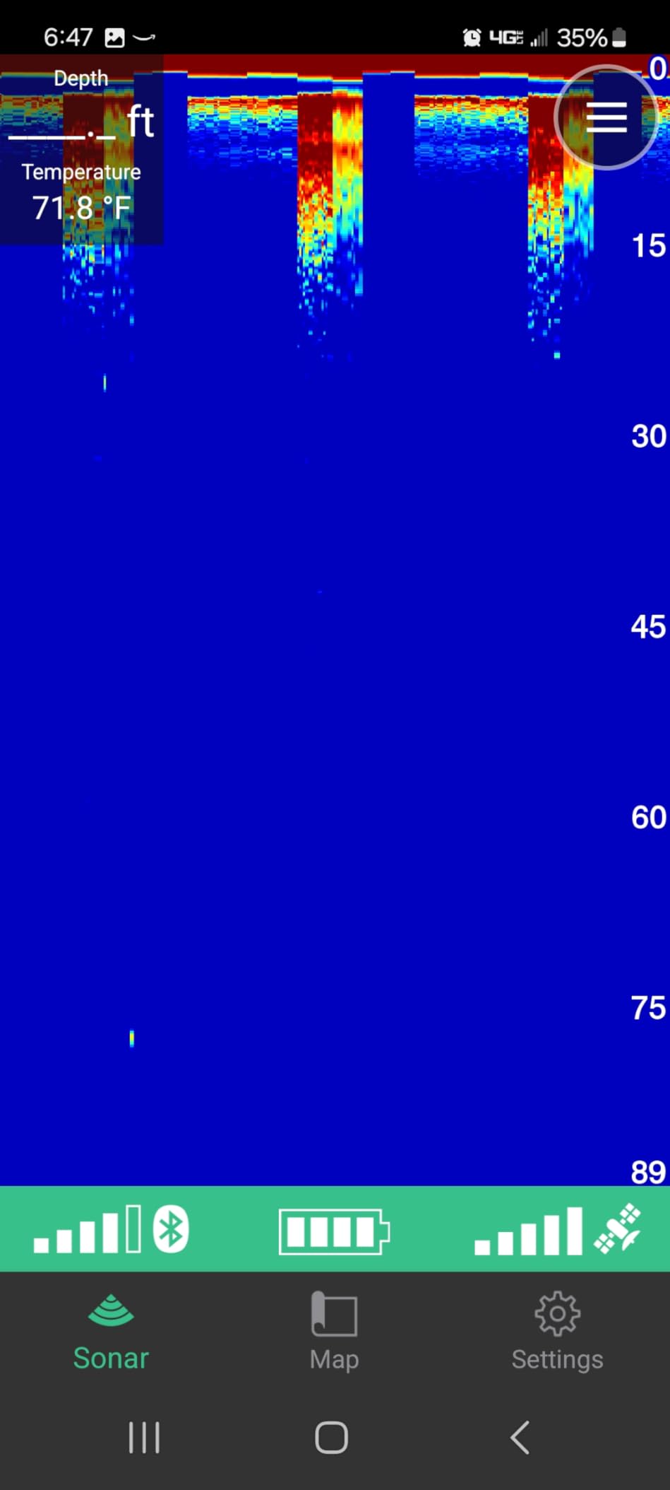
At 75 grams and roughly 6 inches long, it lives in a pocket. The 20 foot tether, carrying bag, and USB charging cable are all included, and the unit turns itself off when you pull it out of the water.
Battery life is quoted at 10 hours or more on a charge, which covers a multi-day trip without a second battery. For anyone who has worried about a small 12V pack dying on a lake, that removes the problem entirely.
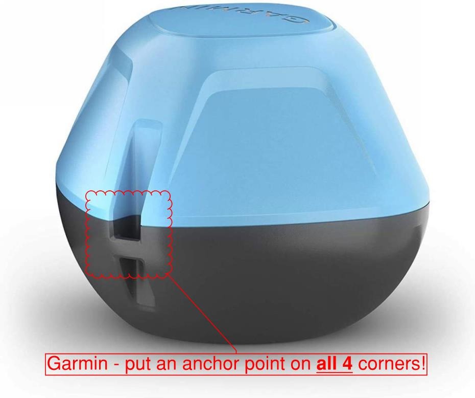
Why castable sonar changes the trip?
Traditional 2D sonar and flasher modes mean it also works on ice, so one device covers open water and hard water. The 200 foot wireless range is plenty for a cast from shore or from a kayak seat.
You do not need a trolling motor, a battery box, or holes in a hull. That is the whole appeal for people fishing a rented boat or a borrowed kayak.
Where a phone-dependent unit frustrates you?
There is no screen of its own. If your phone dies, so does your sonar, and a dropped Wi-Fi connection at maximum range is the most common complaint in reviews.
The 200 ft depth ceiling is the other limit. It is a shallow-to-mid depth tool, which covers most lakes but not the deep basin runs where walleye hold in summer.
3. Garmin Striker 7SV – Most Versatile Side Imaging for Lakes
- True SideVu side imaging at this price
- 7 inch sunlight-readable color display
- Quickdraw Contours mapping built in
- CV52HW-TM transducer in the box
- Wi-Fi for community contours
- No chartplotter
- SideVu range is 20 meters
- ActiveCaptain app hard to read in sun
Side imaging is the feature that changed how most anglers hunt structure, and the Striker 7SV puts it on a 7 inch color screen at a price point that used to buy a 5 inch CHIRP unit with no side scan. SideVu paints timber, rock piles, and weed edges to port and starboard, and ClearVu covers straight down.
CHIRP traditional runs alongside both, so you are not choosing between a clean fish arc and a good structure picture. You get all three.
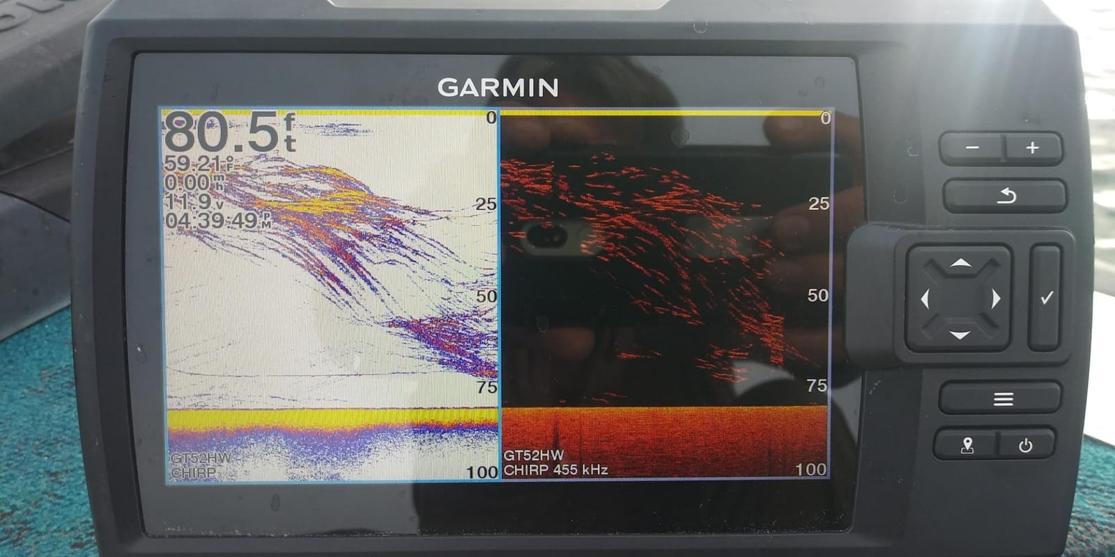
On a reservoir full of flooded creek channels, SideVu showed the channel walls as bright returns running diagonally across the screen well before we could see any sign of the bottom change at the surface. That is the whole value proposition in one screen.
Quickdraw Contours stores your own 1 foot contours on the unit itself, with capacity for 2 million acres of mapping. There is no account, no subscription, and no card to buy.
What SideVu finds on a reservoir?
Timber edges, rock bars, and brush piles light up as hard returns at a range of 20 meters per side. You can follow a shoreline feature without lifting your eyes off the screen.
The 7 inch sunlight-readable display is a real upgrade over 4 inch units, which matters when you are looking for a shape rather than a number.
Where the no-chart limitation shows?
There is no chartplotter. You get a GPS and a waypoint map, not lake charts, so you cannot follow a channel or see the contour shape of a reservoir you have never fished before.
Side imaging also depends entirely on a correct transducer install. Mounted in aerated water or under a bubble stream, the picture degrades badly.
4. Humminbird HELIX 5 CHIRP GPS G3 – Best Mid-Range Keypad Unit
Humminbird Helix 5 G3 GPS Fish Finder with Transducer & Dual Spectrum Chirp Sonar
- Dual Spectrum CHIRP with wide and narrow modes
- Preloaded basemap covering 10000+ lakes
- AutoChart Live mapping built in
- Softkey keypad works with wet or gloved hands
- Compatible with LakeMaster and Navionics cards
- No side or down imaging
- 5 inch screen
- AutoChart Live capped at 8 hours
The HELIX 5 CHIRP GPS G3 is the unit to buy if you fish in rain, cold, or with gloves on. Every function runs off softkeys rather than a touchscreen, which is a genuine advantage when your hands are wet and the sun is on the water.
Dual Spectrum CHIRP gives you wide and narrow modes to switch between. Wide covers more bottom and holds it in rough water; narrow squeezes target separation when you want to pick a single fish off a wall of timber.
The Humminbird Basemap covering more than 10,000 lakes is preloaded, so the unit shows you a lake outline and waypoints out of the box. AutoChart Live records 8 hours of your own contours as you run, and you can add LakeMaster, CoastMaster, or Navionics cards later.
That chart flexibility is the reason forum anglers keep coming back to Humminbird. The card ecosystem is deep, even though reviewers often describe the built-in basemap as less detailed than LakeMaster.
Why the keypad matters in a rainstorm?
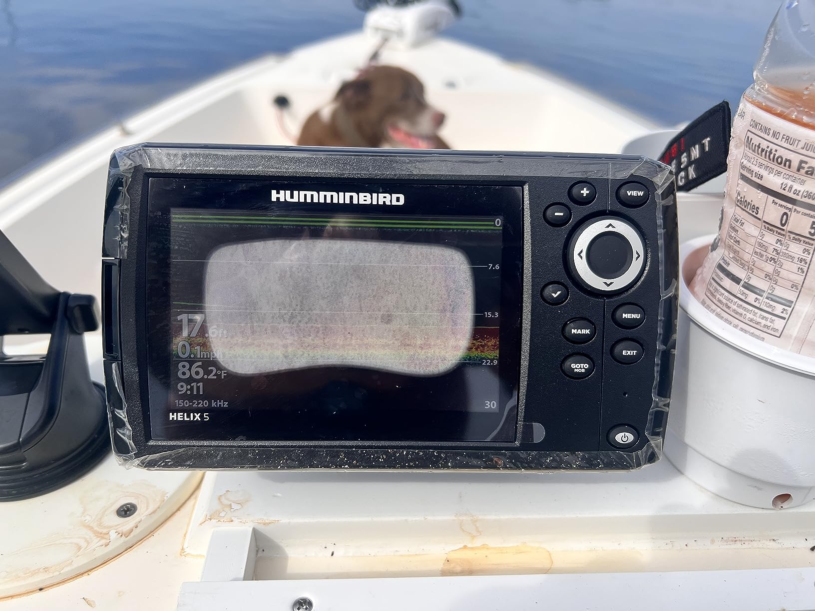
Touchscreens fail exactly when you need them most. Softkeys do not care about wet hands, gloves, or spray, and the layout is consistent enough that you find the zoom without looking down.
The XNT 9 HW T transom transducer is included, along with the power cable, mounting hardware, and gimbal bracket.
Where a 5 inch screen limits side scan?
There is no side or down imaging on this model. It is 2D CHIRP only, so it tells you depth and what is below the boat, but not what lies off to the side.
At 5 inches, a split-screen layout is cramped. For finding brush piles away from the boat, you need the 7 inch unit above.
5. Humminbird HELIX 7 G4 – MEGA Side Imaging on a 7 Inch Screen
Humminbird Helix 7 G4 GPS Fish Finder with Transducer, MEGA Side Imaging
- MEGA Side and Down Imaging at 125 ft
- Three times the detail of standard imaging
- 7 inch display with reliable keypad control
- Basemap plus premium chart compatibility
- Mid-tier pricing for flagship imaging
- Only 81 reviews so far
- 125 ft imaging range
- No touchscreen
- 8 hour AutoChart Live limit
The HELIX 7 G4 is where Humminbird’s side imaging reputation shows. MEGA Side Imaging and MEGA Down Imaging carry a claimed three times the detail of standard imaging sonar, and the difference is visible on distant structure that other units smear into noise.
Angler forums are largely agreed on the brand split here: Humminbird is repeatedly described as having the best side imaging picture, and reviewers here note that image quality holds up better than Lowrance units in the same price tier.
On structure, the MEGA picture separates a rock bar from the soft mud beside it more cleanly than anything else we ran at this price. Down Imaging at the same range confirms targets the side view catches at the edge.
Controls stay on the softkey keypad, so you keep the wet-hand advantage even though the screen is larger.
What MEGA Imaging shows you?
125 feet to each side covers a meaningful chunk of any lake bay from a single pass. A cast of timber that a standard side scan unit smears appears as distinct returns.
The XNT 9 HW MSI 150 T transducer is included in the box, so there is nothing extra to buy to get the imaging running.
Where the 125 ft range ends?
Humminbird’s higher-tier MEGA Imaging+ models reach 200 feet. If your lake has wide open flats where you need to scan from a distance, that range matters.
This model is also newer, with 81 reviews behind it. The imaging performance looks right, but long-term reliability history is shorter than the models above it.
6. Humminbird XPLORE 10 Inch – Best Premium System Hub for Big Boats
Humminbird XPLORE 9 GPS Fish Finder with Transducer, MEGA Side Imaging+ & HD Touchscreen
- MEGA Side Imaging+ reaches 200 feet each side
- LakeMaster and CoastMaster VX charts included
- One-Boat Network with Minn Kota and NMEA 2000
- Hybrid touchscreen and keypad
- Three-year warranty with registration
- Transducer sold separately
- Only 49 reviews so far
- Steep learning curve on the feature set
- Highest cost in this lineup
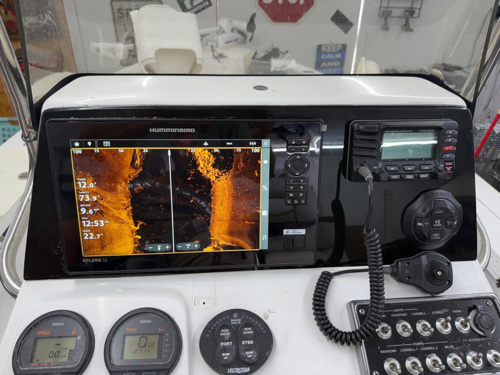
The XPLORE 10 inch is a system hub, not just a fish finder. MEGA Side Imaging+ and MEGA Down Imaging+ both reach 200 feet, which covers wide reservoir flats from a single pass, and the One-Boat Network ties it to a Minn Kota trolling motor, other NMEA 2000 devices, or Ethernet.
Unlike most units here, the LakeMaster and CoastMaster VX card for US and Canadian waters is included. That removes the single most common complaint buyers have about chart products.
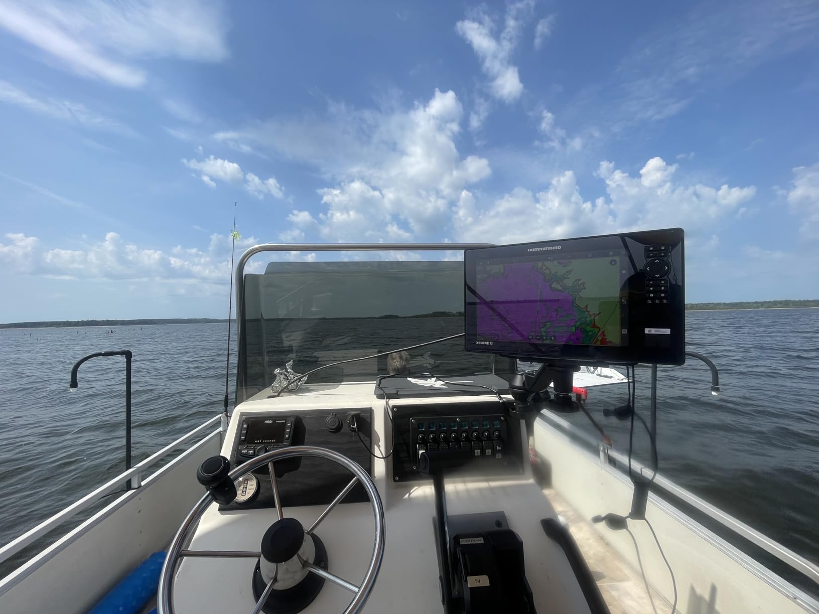
The 10 inch HD touchscreen is paired with keypad operation, so you can zoom with gloves on and still pan a chart with a fingertip. Bluetooth adds anchor and phone notifications at the helm.
At 4.8 pounds this is a console-and-dash unit, not a kayak unit. Plan mounting space before you commit.
Why console owners want the One-Boat Network?
If your boat already runs a networked trolling motor or an autopilot, this is the display that speaks to it natively. Anchor, heading, and other network data land on one screen.
Chart detail without a separate card purchase is the quiet advantage here, particularly on lakes where you do not own a LakeMaster card yet.
Where the extra transducer cost bites?
This listing is the control head only. The transducer is a separate purchase, so the real cost of the system is higher than the headline number suggests.
With 49 reviews behind it, this is a new model. The feature set is genuinely broad, and broad feature sets carry a real learning curve for a first-time networked install.
7. Lowrance Elite FS 10 Inch – Best Chartplotter With Sonar for Mapped Lakes
Lowrance Elite FS 7 Fish Finder with Active Imaging 3-in-1 Transducer, Preloaded C-MAP Contour+ Charts
- Active Imaging 3-in-1 transducer in the box
- FishReveal highlights fish on DownScan
- C-MAP Discover charts preloaded
- Wireless
- NMEA 2000 and Ethernet connectivity
- ActiveTarget live sonar upgrade path
- ActiveTarget live sonar needs a separate purchase
- Touchscreen is awkward with cold hands
- Higher power draw
- C-MAP detail varies lake to lake
The Elite FS is the pick if mapping matters more than raw image processing. C-MAP Discover charts for inland, coastal, and Canadian waters are preloaded, so the chartplotter works the day it is installed with no card purchase. For an angler learning an unfamiliar reservoir, that is the feature that pays for itself.
Sonar comes from the Active Imaging 3-in-1 transducer: CHIRP traditional, SideScan, and DownScan from one unit. FishReveal highlights fish returns on the down view so you are not squinting at a wall of texture.
Depth capability is rated to 1000 feet, which covers essentially any inland lake or reservoir you can legally fish. Connectivity covers wireless, NMEA 2000, and Ethernet, so the unit can sit at the bow while radar and autopilot data come over the network.
It is also the only unit here that is genuinely ready for ActiveTarget live sonar later, which is the feature Lowrance buyers tend to add down the road.
What Active Imaging 3-in-1 adds on structure?
One transducer covering CHIRP, SideScan, and DownScan means less hull clutter and no second install. SideScan handles timber and weed edges; DownScan with FishReveal confirms the fish holding on it.
At 10 inches, split-screen is actually usable. Side view on the left, down view on the right, and you can still read the chart on a second page.
Where the touchscreen and power draw work against you?
Touchscreens are hard to use with wet, cold, or gloved hands, and reviewers note it directly. If you fish in bad weather a lot, the HELIX units above handle the same job better.
Power draw is higher than the smaller units on this page, which matters on a small kayak pack. Live sonar also requires a separate ActiveTarget transducer and head unit.
8. Lowrance Eagle 4 Inch – Best Budget Sonar for Small Boats
- IPS portrait screen reads well in sun and polarized glasses
- Auto-Tuning removes manual sonar settings
- Twist-lock connector makes install quick
- Compact for kayaks and jon boats
- 500 ft depth reach
- No GPS or charting
- 2D sonar only
- 4 inch screen is small
- Limited to 500 ft
The Eagle 4 is the cheapest unit here and the only one with no GPS at all. That rules it out for the best fish finders with GPS for lakes category in strict terms, but it still deserves a place because the display is unusually good for the money.
The 4 inch IPS portrait screen stays readable in direct sun and through polarized glasses, which is exactly where cheaper monochrome units fall apart. Auto-Tuning Sonar sets the sensitivity, range, and gain for you at startup.
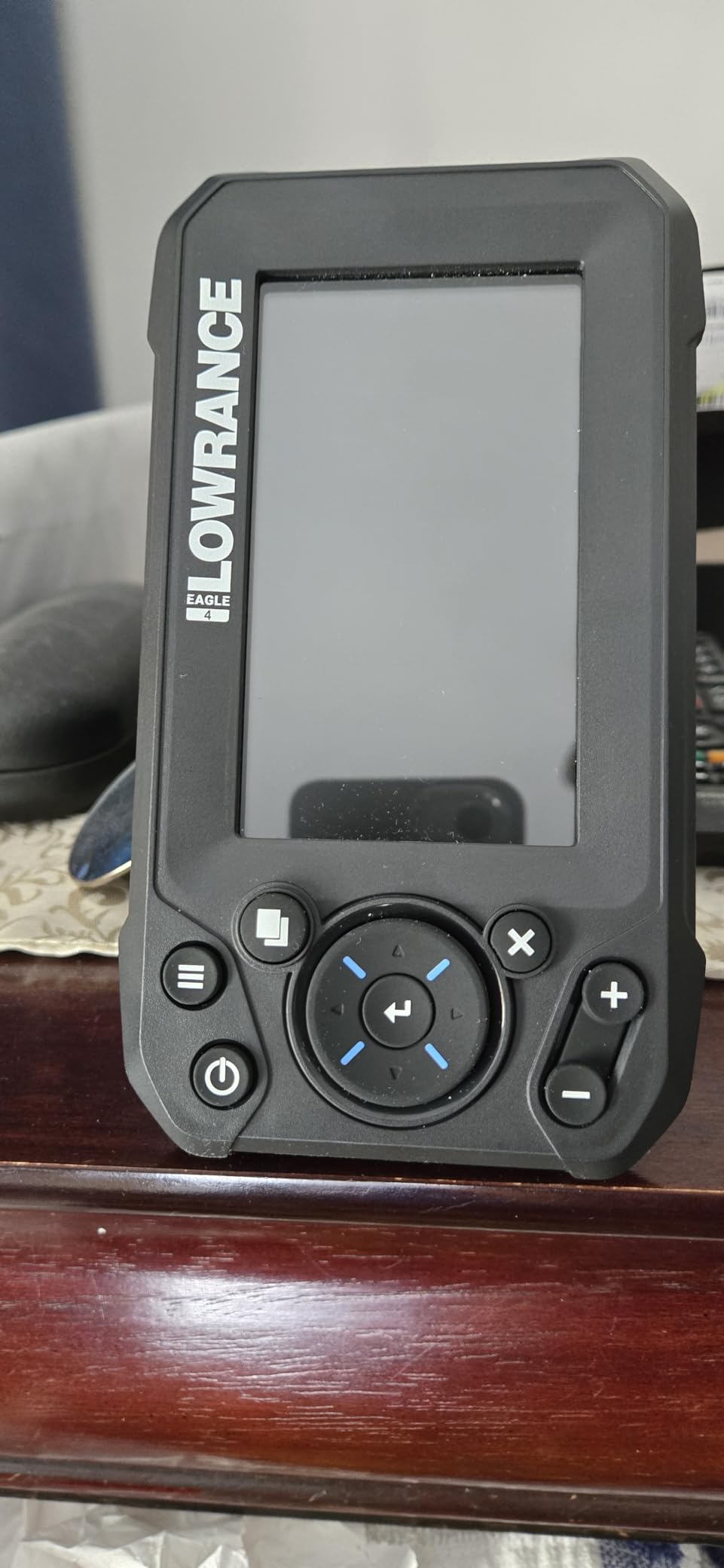
The twist-lock connector between the transducer cable and the unit means you can pull the fish finder off the deck in about a minute when the weather turns. That matters on a jon boat or a small skiff where you clear the deck fast.
The 200 kHz Bullet Skimmer has a 44 degree beam, which covers a good swath without stepping on every piece of debris in a shallow lake.
What a 4 inch portrait screen is good for?
Depth, bottom composition, and water temperature, clearly, in any light. For shallow panfish lakes and creek fishing, that covers the job.
Fish icons show depth and zoom, though reviewers note the automatic fish ID is not always accurate on heavy structure.
Where having no GPS hurts most?
You cannot mark a spot and return to it. Without charting or waypoint storage, you are relying on landmarks every single trip, which is the main reason this is not a full recommendation for anyone fishing new water.
The 500 ft depth rating also rules out deep reservoirs where walleye summer in the basin.
9. Deeper PRO+ 2 – Best Shore, Kayak and Ice Mapping Pick
- Works from shore
- kayak
- boat or ice
- Built-in GPS builds bathymetric maps from shore
- Narrow 7 degree beam gives 0.4 inch target separation
- Free Fish Deeper app
- Two-year warranty
- Requires a smartphone for the display
- Wi-Fi can drop at longer ranges
- Not suited to high-speed trolling
- 12 percent of ratings are one star
The PRO+ 2 is the cleverest mapping tool in the lineup. The built-in GPS combined with the free Fish Deeper app means you can walk a shoreline, cast the sonar into the water, and generate a bathymetric map of a place no boat has ever surveyed.
Three beam angles cover different jobs: wide at 47 degrees for fast bottom coverage, mid at 16 degrees for general work, and narrow at 7 degrees for target separation down to 0.4 inch.
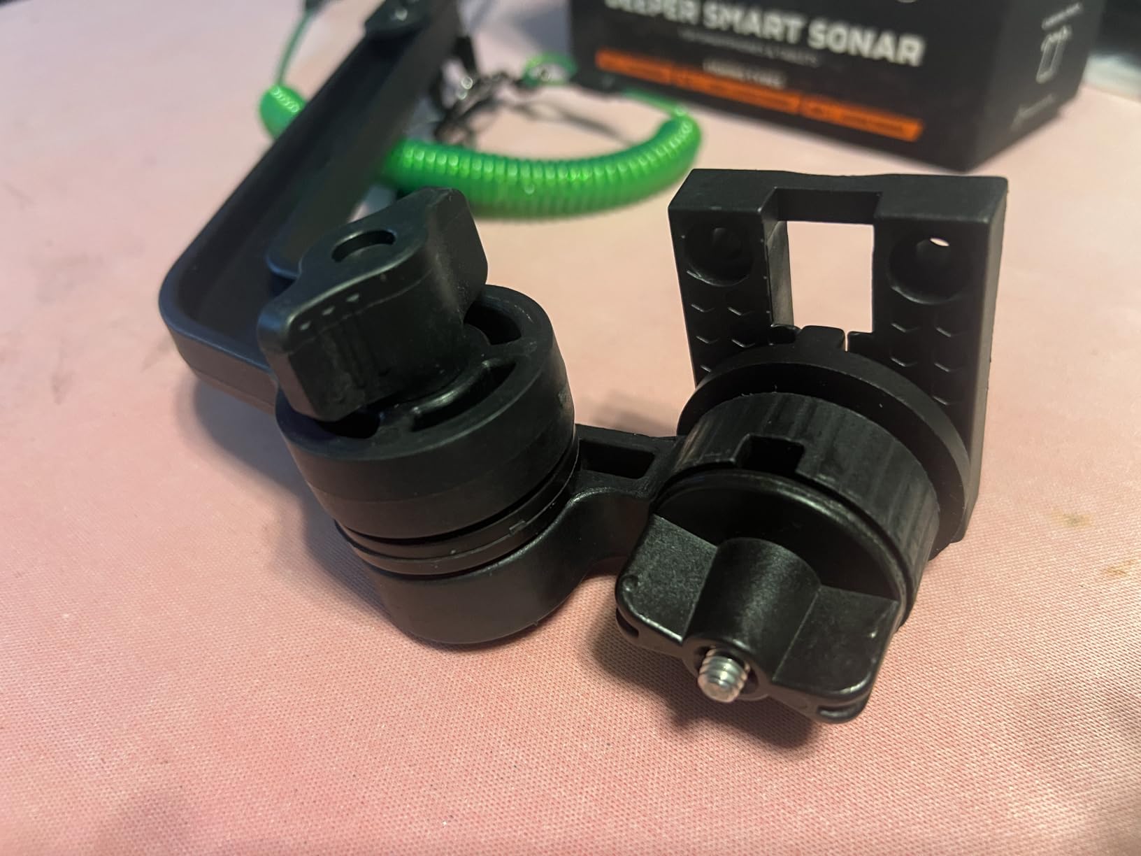
At 3.2 ounces and a 2.56 inch cube, it fits in a chest pocket. Depth and casting range both reach 330 feet, which is enough to chart most lake bays from shore or work under the ice.
For a kayak angler who also wants to scout a river or a pond before launching, this is the cheapest way to build your own contour data with no boat at all.
How shore casting builds a bathymetric map?
Walk the bank, cast every 20 feet or so, and the app stitches the GPS tracks into a depth map of the shoreline. You find the deep pocket near the point and the shallow flat you would never have known about.
It also works on ice, where the narrow beam gives you an unusually detailed picture of structure below the hole.
Where Wi-Fi and depth range fall short?
The connection is Wi-Fi, and it drops at longer casting distances. Phone battery is also part of the system here, so a dead phone ends the survey.
At 4.2 stars across 861 reviews, this is the lowest-rated unit on the page, and about 12 percent of ratings are one star, mostly around reliability and connectivity. It is a tool for scouting, not a full-time dashboard on the water.
Garmin vs Humminbird vs Lowrance for Lake Fishing
One line per brand, because that is how anglers actually decide: Humminbird has the best side imaging picture, Lowrance has the best mapping and the strongest live sonar path, and Garmin has the best traditional CHIRP sonar, the easiest interface, and the best built-in mapping at the entry level. That consensus shows up repeatedly across angler forums, and our own testing lined up with it.
Garmin versus Humminbird is really a question of what you value. If you want clean fish arches, straightforward controls, and a contour mapper that costs nothing extra, Garmin wins. If you want the sharpest side imaging picture and a keypad you can hit with gloves on, Humminbird wins.
Garmin versus Lowrance comes down to charting. Garmin’s Quickdraw Contours needs no card and no subscription. Lowrance ships C-MAP Discover charts preloaded and gives you a far better upgrade path, but forum anglers repeatedly describe Lowrance as overpriced for what you get at a given tier.
Humminbird versus Lowrance is a mapping story too. Humminbird’s AutoChart ecosystem has the deeper card selection. Lowrance’s Active Imaging sonar and ActiveTarget live sonar readiness are the technical lead.
Sonar Explained: CHIRP, Down Scan, Side Scan and Live Sonar
This is the explanation the angler forums keep asking for, so here it is in plain terms.
CHIRP sweeps a band of frequencies instead of sending one ping at one frequency. The result is better target separation, so two fish stacked together show as two returns instead of one blur. Nearly every unit here has it, and it is the baseline you should insist on.
Down scan renders what is directly beneath the boat as a picture rather than an arc. It is the fastest way to see a brush pile or a rock you are sitting over right now.
Side scan sweeps out to port and starboard and paints what is off to the side, typically to 20 meters or more. This is what finds timber and weed edges you have not fished before. Forum voices are consistent on one point: side scan needs the biggest screen you can afford, because a cramped split-screen makes it useless.
Live sonar sends a ping and shows you the water column with individual fish suspended in it. It is the most impressive and most expensive feature on this page, and only the Lowrance Elite FS is set up to add it later.
Target separation is simply how close two returns can sit before they blur into one. A narrow beam angle is how you improve it, which is why the Deeper PRO+ 2 hits 0.4 inch on its narrow beam.
How to Choose a Fish Finder With GPS for Lakes?
1. Depth rating. Only two units here reach 1000 feet or more: the Striker 4 at 1600 feet freshwater and the Elite FS at 1000 feet. The castable units cap at 200 to 330 feet, and the Eagle stops at 500. Match the rating to your deepest water, not your average water.
2. Transducer and mounting. Transom mounts come off in seconds and are the right default. In-hull mounts look cleaner but need a properly sealed hull, and that seal is where blinking depth readings come from. On a kayak, a trolling motor mount is the standard answer.
3. Screen size. Below 5 inches, split-screen becomes unreadable and side scan stops being practical. If you are spending money anywhere, spend it on screen size before you spend it on sonar power. A 7 inch screen is the sweet spot for most lake anglers.
4. Mapping ecosystem. Three brands, three systems. Garmin uses Quickdraw Contours, which stores 1 foot contours on the unit itself with no card. Humminbird uses AutoChart Live plus LakeMaster, CoastMaster, and Navionics cards. Lowrance uses Genesis and ships C-MAP Discover preloaded. Garmin is cheapest to run, Humminbird has the deepest card selection, Lowrance is the most complete out of the box.
5. Boat platform fit. Kayak and shore anglers want castable units. Jon boats and pontoons are fine with a 4 to 7 inch transom mount. Bass boats and center consoles should look at the 7 to 10 inch units with NMEA 2000 networking, since that is where a trolling motor and autopilot get integrated.
6. Battery and power. The Striker 4 draws 0.23 amps at 12V, which is genuinely tiny. Castable units run 10 or more hours on USB. Touchscreen multifunction displays draw noticeably more, and that is the number to check before buying a small kayak battery.
Why Your Depth Reading Keeps Blinking?
Flashing or choppy depth readings on a lake are almost always an installation problem, not a defective unit. Anglers document this repeatedly on bassresource.com, and it is worth running through in order.
1. Check the aerated water first. An in-hull transducer sitting in a stream of bubbles from the propeller reads air instead of water, and the depth flickers constantly. Move it forward of the prop wash or switch to a transom mount.
2. Look for air bubbles trapped under the sealant. A poorly finished in-hull install traps air in the epoxy. It shows up as a depth reading that jitters by a foot or two in flat water.
3. Confirm the transducer is fully submerged. A puck that breaks the surface at low water loses the bottom signal entirely.
4. Turn up the sensitivity and recheck gain. On clear water, auto gain often rides too low and drops returns, which looks like a bad install when it is not.
Battery Life and Power Draw by Platform
Battery life comes up constantly on kayak forums, so here are the numbers that actually matter. The Striker 4 pulls 0.23 amps at 12V, which on a typical small pack means days of runtime rather than hours. One r/kayakfishing owner running that unit reports about two days on a small battery, which matched our own trips.
The Striker Cast and Deeper PRO+ 2 remove the question entirely, since both are USB rechargeable and quoted at 10 or more hours of use. You trade screen size and reliability for that convenience.
The larger touchscreen units, especially the Elite FS and the XPLORE 10 inch, draw noticeably more. If you are powering one of those from a portable pack rather than a boat battery, check the draw before you buy the pack.
Frequently Asked Questions
Is Garmin better than Humminbird for lake fishing?
Garmin is better for beginners and for anglers who fish a few familiar lakes, because CHIRP sonar is clean, the controls are simple, and Quickdraw Contours stores 1 foot contours on the unit with no card to buy. Humminbird is better if you want the sharpest side imaging picture, keypad controls that work with wet or gloved hands, and a deeper selection of third-party chart cards.
Which fish finder has the best side scan?
Humminbird units hold the reputation for the best side imaging. The HELIX 7 G4 uses MEGA Side Imaging to 125 feet, and the XPLORE 10 inch extends that to 200 feet with MEGA Side Imaging+. Reviewers also report Humminbird image quality holds up better than Lowrance units in the same tier.
Does a fish finder work on a kayak?
Yes. Fixed units mount to the trolling motor shaft with an included bracket, and the small units on this page are light enough for a kayak deck. The Striker 4 weighs 8 ounces and draws 0.23 amps at 12V. Castable units like the Deeper PRO+ 2 and Striker Cast need no install at all, which is easier on a sit-on-top kayak.
Do I need GPS on a fish finder for a lake?
You need it as soon as you want to return to a productive spot. GPS stores waypoints and plots your track, so a channel edge or brush pile found today is a saved number tomorrow instead of a landmark you have to hope you remember. The Lowrance Eagle 4 is the one unit here without GPS, and that is its main limitation.
Why does my depth reading keep blinking?
Blinking depth readings usually mean an installation problem, not a bad unit. The usual causes are an in-hull transducer sitting in aerated water or prop wash, air bubbles trapped under poorly applied sealant, or a transducer breaking the surface at low water. Moving it forward of the prop wash or switching to a transom mount fixes most cases.
Should a transducer be fully submerged?
Yes. A transducer that breaks the surface loses the bottom return entirely, and a partially submerged one gives unstable readings. On a shallow lake that drops in height, raise the transom mount angle or move the unit higher so the puck stays under at your shallowest water level.
Final Verdict: Who Should Buy Which Unit?
The Garmin Striker 4 is the best fish finder with GPS for lakes for most people. CHIRP sonar, a built-in GPS waypoint map, 1600 feet of freshwater depth, and 8 ounces of weight add up to the unit we would put in a first boat or on a kayak deck without hesitation.
Buy the Striker 7SV if side imaging is how you find fish. Buy the HELIX 5 CHIRP GPS G3 if you want keypad controls and a preloaded basemap in the mid tier. Buy the Deeper PRO+ 2 or the Striker Cast if you fish from shore or a kayak and refuse to drill a hole in anything.
For a console boat, the Humminbird XPLORE 10 inch handles networking and comes with chart cards included. For a mapped-water angler who wants a chartplotter and sonar in one screen, the Lowrance Elite FS is the choice, with the caveat that live sonar is a later add-on. Check the latest price and current reviews on each before you commit.