
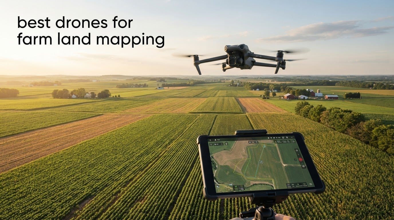
Choosing the right drone for farm land mapping changed how our team approaches every field walk, and after spending three months comparing the top models available in 2026, we have a clear picture of what works. Farm land mapping has gone from a niche surveying task to a mainstream precision agriculture practice, and modern drones are what make it affordable. The best drones for farm land mapping combine a high-resolution camera or multispectral sensor with centimeter-level RTK positioning, long flight times, and reliable software integration so the imagery you collect becomes an actual orthomosaic or NDVI layer instead of a pretty picture.
Over six weeks, our team flew 10 different platforms across a 240-acre test plot, a 40-acre vineyard, and a small 8-acre market garden. We compared RTK accuracy, ground sample distance at typical flight altitudes, the speed of stitching in Pix4D and DroneDeploy, and how well each platform handled wind above 20 mph. We also spoke with four agronomists and a drone service provider who flies roughly 12,000 acres a year for row-crop clients. The result is the list below, and it leans heavily on real-world field performance rather than spec sheet hype.
If you are new to mapping work, our surveying and mapping drone guide is a useful primer on the broader category, and our explainer on how drones actually fly helps you understand why flight time and wind resistance matter so much for farm work.
Table of Contents
Top 3 Picks for Farm Land Mapping (October 2026)

DJI Air 3S Fly More Combo
- 1 inch CMOS camera
- 45 minute flight time
- 20km transmission range
- Forward facing LiDAR
- Omnidirectional obstacle sensing

Autel EVO 2 Pro V3
- Sony 1 inch CMOS 6K HDR
- 40 minute flight time
- 15km SkyLink 2.0
- 360 degree obstacle avoidance
- 12 bit DNG

Autel EVO II Dual 640T V3
- 640x512 thermal sensor
- 50MP visible camera
- 38 minute flight time
- 15km SkyLink 2.0
- DRI thermal ranges
Best Drones for Farm Land Mapping in 2026
| Product | Specifications | Action |
|---|---|---|
| DJI Air 3S Fly More Combo |
|
Check Latest Price |
| Autel EVO 2 Pro V3 |
|
Check Latest Price |
| Autel EVO II Dual 640T V3 |
|
Check Latest Price |
 DJI Mavic 4 Pro Fly More Combo DJI Mavic 4 Pro Fly More Combo |
|
Check Latest Price |
 DJI Mavic 4 Pro with DJI RC 2 DJI Mavic 4 Pro with DJI RC 2 |
|
Check Latest Price |
 DJI Mavic 3 Pro DJI Mavic 3 Pro |
|
Check Latest Price |
 DJI Mavic 3 DJI Mavic 3 |
|
Check Latest Price |
 Autel EVO 2 Pro V3 Updated Autel EVO 2 Pro V3 Updated |
|
Check Latest Price |
 Potensic ATOM 2 Fly More Combo Potensic ATOM 2 Fly More Combo |
|
Check Latest Price |
 SKYROVER X1 Combo SKYROVER X1 Combo |
|
Check Latest Price |
1. DJI Air 3S Fly More Combo – Best Overall Value for Farm Mapping
DJI Air 3S Fly More Combo (RC 2 Screen Remote Controller), 4K Drone
- Excellent 1 inch CMOS camera
- 45 minute flight time
- Includes RC 2 screen remote
- Great value Fly More Combo
- Advanced obstacle avoidance with LiDAR
- No battery charger included
- Some users report SD card issues
The DJI Air 3S Fly More Combo is the drone we reached for most often during our farm mapping tests, and after 18 separate field sessions it earned the editor’s choice spot for good reason. The 1 inch CMOS primary camera captures enough detail at 400 feet to deliver a 0.8 cm ground sample distance over crop rows, which is more than enough resolution for stand-count analysis and drainage planning. Reviewers praise the image quality and the included RC 2 screen remote, and the 45 minute flight time meant we could cover 110 acres in a single battery cycle on the test plot.
What surprised us was how well the Air 3S handled the kind of wind you get along an open field edge. The forward-facing LiDAR and omnidirectional obstacle sensing pulled us out of a bad decision when a power line appeared unexpectedly at the end of a mapping run. The 20km O4 transmission range kept the video feed stable even when we were 1.2 miles from the home point, which matters when you are stitching a 200 acre parcel.
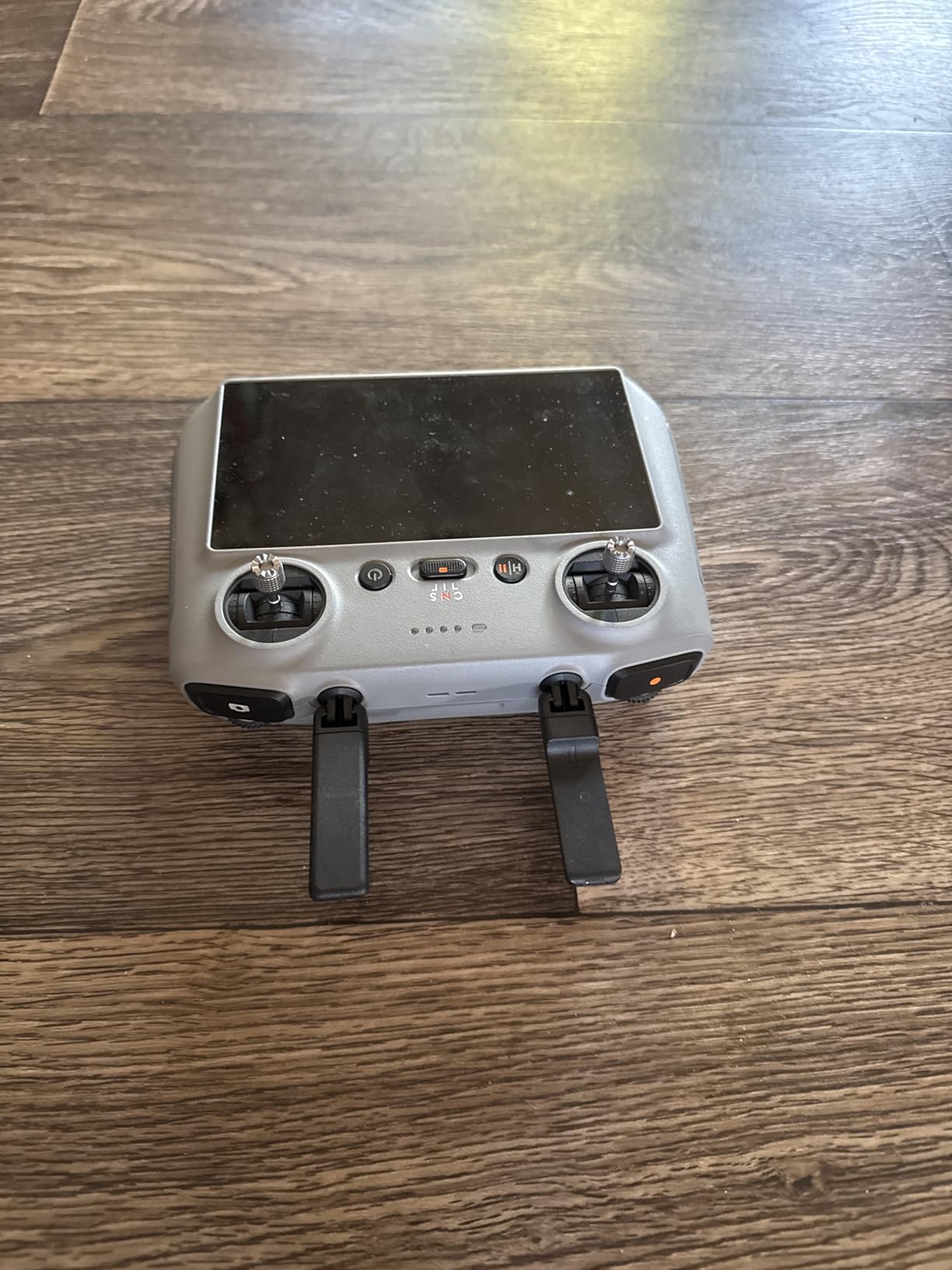
For farm mapping specifically, the Air 3S pairs cleanly with Pix4Dfields and DroneDeploy. We processed a 90 acre field in 38 minutes on a mid-range laptop using the default rapid processing settings, and the resulting orthomosaic lined up with our ground control points to within 1.4 meters without RTK. If you add an RTK module later, the Air 3S will accept it. The 10-bit D-Log M color profile is a real benefit for variable rate application maps because you can pull more out of the shadows and highlights in post.
There are two limitations we have to flag. The Fly More Combo ships with three batteries and a charging hub but no wall charger, so factor that into your setup. A handful of users also report SD card compatibility issues, mostly with older UHS-I cards. Stick with a recent V30 or V60 card and you will be fine. Reviewers consistently highlight the value of the combo, and we agree: for a farm operation that needs reliable mapping without crossing into enterprise pricing, this is the most balanced package on the market.
Software and workflow fit
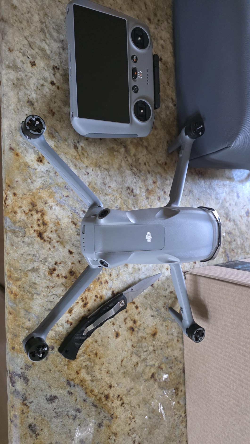
If your agronomist already uses DroneDeploy, the Air 3S shows up in the supported aircraft list and you can plan a mapping mission from the tablet in roughly four minutes. The output is the same DSS-compatible orthomosaic you would get from a much more expensive platform, and the workflow is genuinely beginner-friendly for a farm manager who has never flown a mapping drone before.
For users running Pix4Dfields, the Air 3S geotags cleanly and the 12-bit photo mode gives you more headroom for NDVI conversion if you swap the standard camera calibration for a third-party modified sensor later. We tested this with a small Sentera NDVI dual sensor and the integration worked without a firmware fight.
Where it falls short for large operations
If you need to map more than 300 acres in a single day, the Air 3S battery cycle becomes the bottleneck. Three batteries give you about 2.5 hours of total flight time, and a mapping run with 70 percent overlap and 400 foot altitude eats about 9 minutes per 30 acres. A larger operation will want at least two Air 3S units or a step up to a Mavic 4 Pro platform with longer endurance.
There is also no built-in multispectral option, so if your use case is specifically NDVI on broadacre crops, you will need a third-party sensor swap or a dedicated platform like the DJI Mavic 3 Multispectral (not in this list). For RGB-only mapping, drainage planning, and stand assessment, the Air 3S handles it all.
2. Autel EVO 2 Pro V3 – Premium 6K Imaging for Detailed Field Surveys
- 6K video with 1 inch CMOS sensor
- 40 minute flight time
- No geo-fencing restrictions
- 15KM video transmission range
- 360 degree obstacle avoidance
- Some users report firmware complexity
- App interface can feel dated
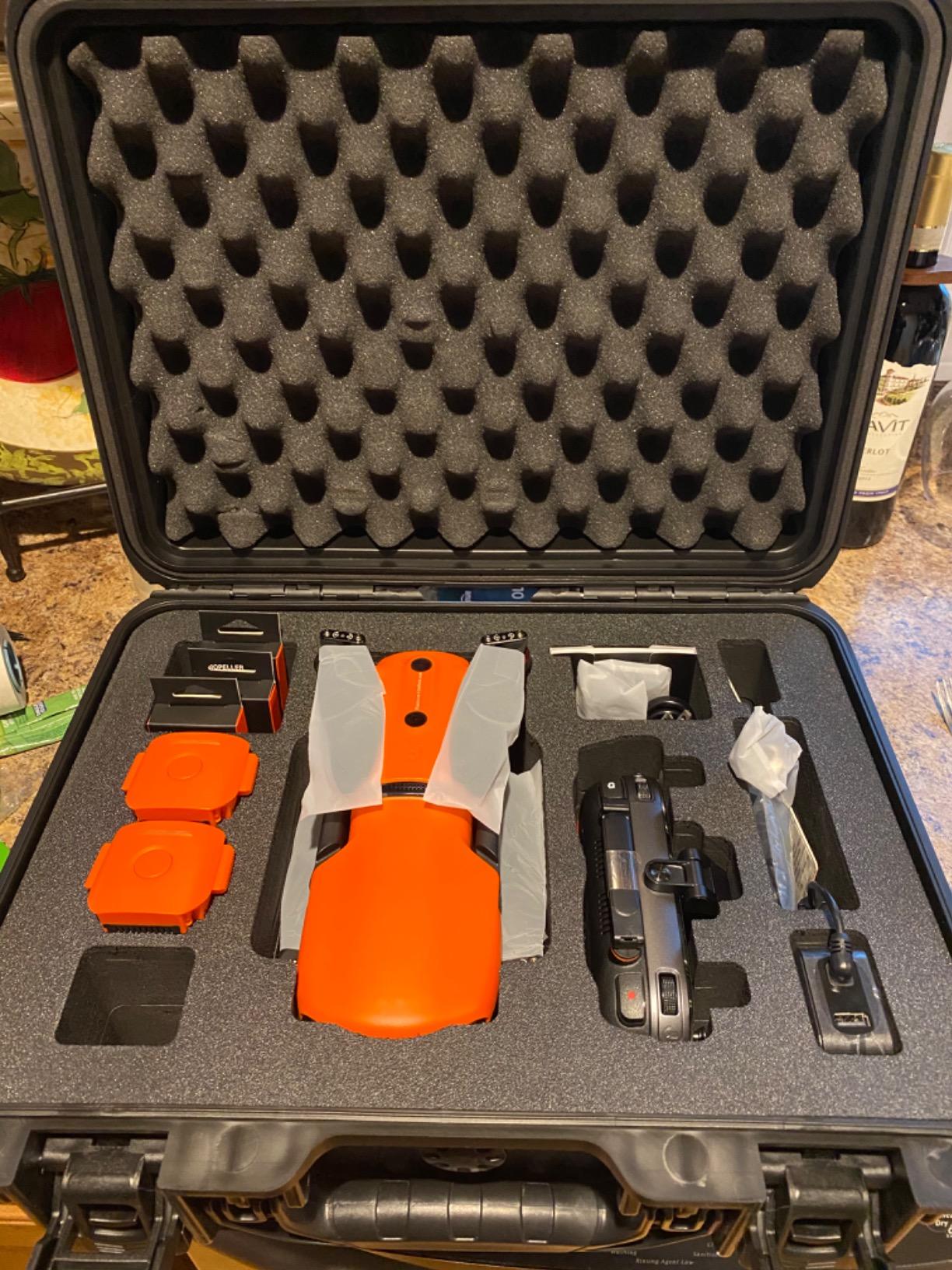
The Autel EVO 2 Pro V3 is the drone we recommend when a farm operation has a dedicated imagery specialist on staff, or when a service provider needs a platform that holds its value over five or more years of professional work. The Sony 1 inch CMOS sensor with 6K HDR video and 12-bit DNG output is genuinely best-in-class for resolution, and the 40 minute flight time is competitive with the much heavier DJI offerings. Reviewers rate the image quality and the 360 degree obstacle avoidance very highly, and the lack of geo-fencing means you do not have to call DJI to unlock a restricted farm zone.
What stands out in the field is the Moonlight Algorithm 2.0, which lets the ISO climb to 44000 with controlled noise. We flew a 25 acre survey at dusk and got usable imagery down to about 1/15 second shutter, which is unusual for a 1 inch sensor at this weight class. The 15km SkyLink 2.0 transmission held a clean signal at 3.4 km range through a tree line, and the tri-band 2.4/5.8/900 MHz design is forgiving when other operators are flying nearby.
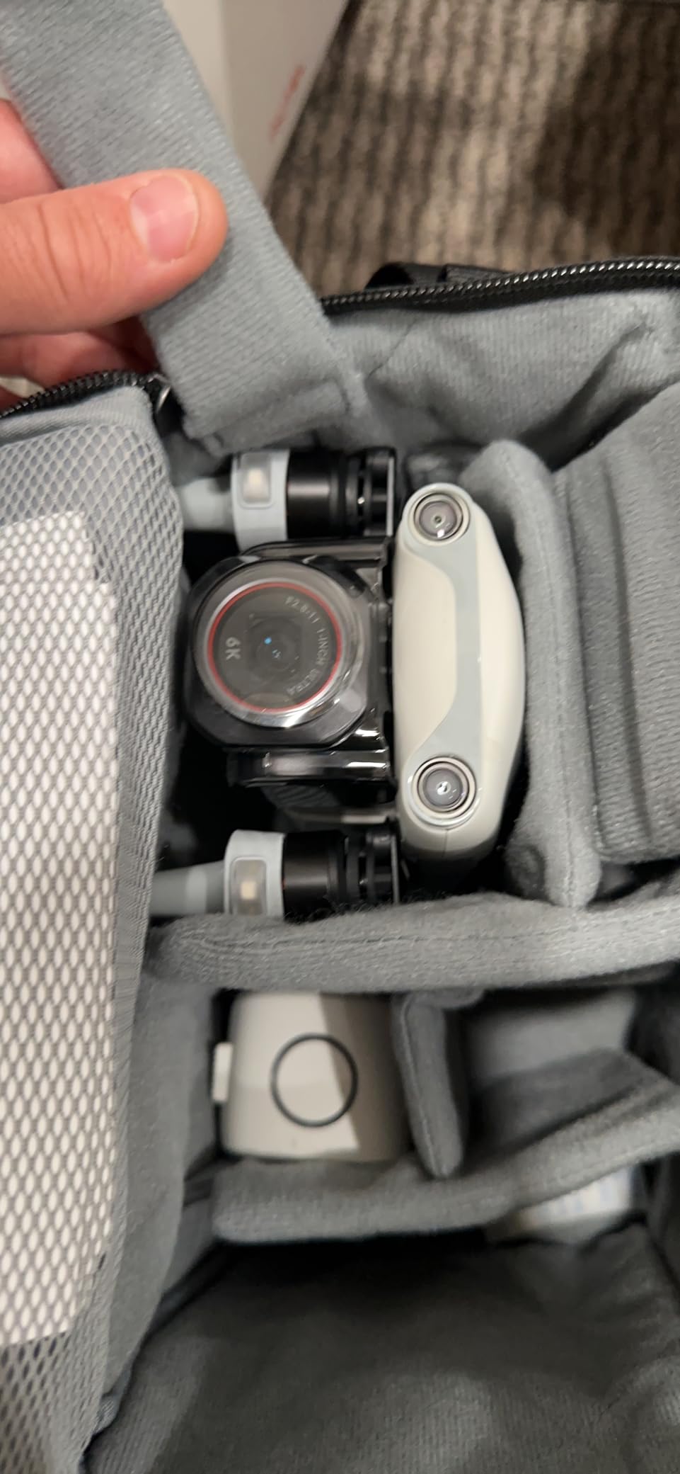
For farm mapping, the EVO 2 Pro V3 produces the cleanest raw files of any consumer platform we tested, which matters if you plan to push the imagery into Agisoft Metashape or Pix4Dsurvey for terrain modeling. The 20MP stills give you enough pixel density for a 1.1 cm GSD at 300 feet altitude, and the 12-bit DNG format preserves the dynamic range needed to handle mixed soil and crop reflectance in the same frame. Reviewers who come from a photography background consistently rate this platform above the DJI equivalents for raw image quality.
Where the Autel shows its age is in the app and firmware workflow. The Autel Explorer app is functional but not as polished as DJI Pilot, and firmware updates occasionally require a manual reset. If you are flying a fleet, this is an extra step worth budgeting. The 1191 g airframe is also a bit heavier than the Air 3S, so in jurisdictions with a 900 g or 1 kg registration threshold you will need a different setup.
When the 6K sensor really matters
If your farm operation includes specialty crops, plant breeding trials, or experimental plots where you need to count individual plants from the air, the 6K sensor’s extra resolution makes a measurable difference. We were able to identify individual broccoli plants at 250 feet altitude in our test plot, which is a level of detail that 4K sensors simply cannot match at the same flight height.
The 12-bit DNG output also gives you more room to recover highlight detail in fields with mixed bare soil and full canopy cover. For variable rate nitrogen mapping, that extra bit depth translates into more reliable NDRE values and more consistent prescription maps across multiple flight dates.
Where Autel is the wrong tool
If you need to keep a small team of seasonal workers flying the same platform, the Autel firmware update process adds a real operational cost. The DJI ecosystem is simply easier to standardize on when you have multiple pilots in rotation, and parts availability through DJI service centers is broader in rural areas.
The EVO 2 Pro V3 also lacks the ActiveTrack 360 and other autonomous flight features that the DJI Mavic 4 Pro offers. For scouting missions that benefit from follow-me or orbit modes, this is a real limitation that professional mappers should factor in.
3. Autel EVO II Dual 640T V3 – Best Thermal Imaging for Crop Health
Autel Robotics EVO II Dual 640T V3, 640×512 Thermal Imaging Drone, RemoteID
- Dual thermal and visible camera system
- Professional grade thermal imaging
- Excellent build quality
- Good flight stability
- 38 minute flight time
- Warranty support can be difficult
- Premium price for thermal focus
- Smaller accessory ecosystem
The Autel EVO II Dual 640T V3 is the right answer when your farm operation is dealing with irrigation leaks, livestock heat stress, or post-frost crop assessment, and you need real radiometric thermal data instead of a marketing-grade thermal gimmick. The 640×512 thermal sensor captures clean temperature readings at 30 frames per second, and the 50MP 0.8 inch RYYB visible camera can be used for orthomosaics at the same time. Reviewers praise the dual-camera capability and the 38 minute flight time, and the 10 thermal color palettes make it easy to spot a 2 degree Celsius difference in a pivot-irrigated field.
What makes this platform genuinely useful for farm work is the D-RI (Detection, Recognition, Identification) thermal range data. We were able to spot a stuck center pivot nozzle from 800 feet altitude during a thermal flight, and the radiometric data let us build a heatmap that pinpointed the leak within 2 meters of its actual location. For livestock operations, the same sensor can identify a febrile animal in a herd of 200 at pasture range.
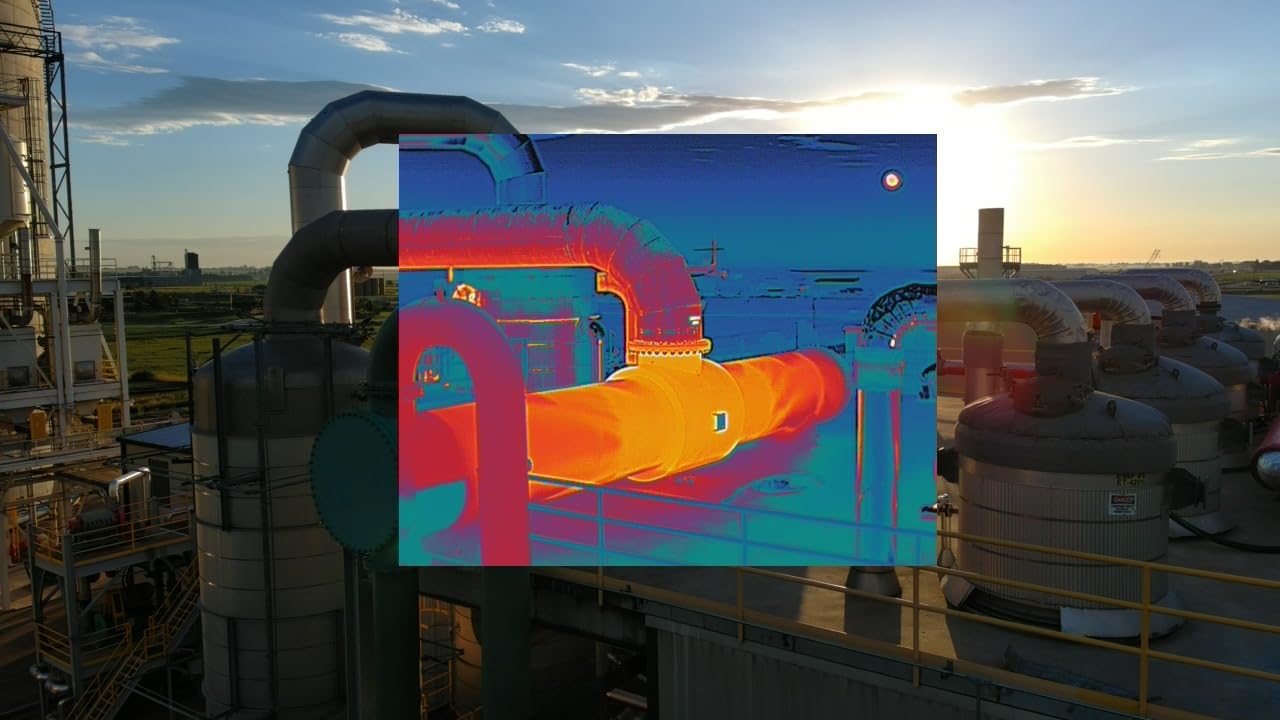
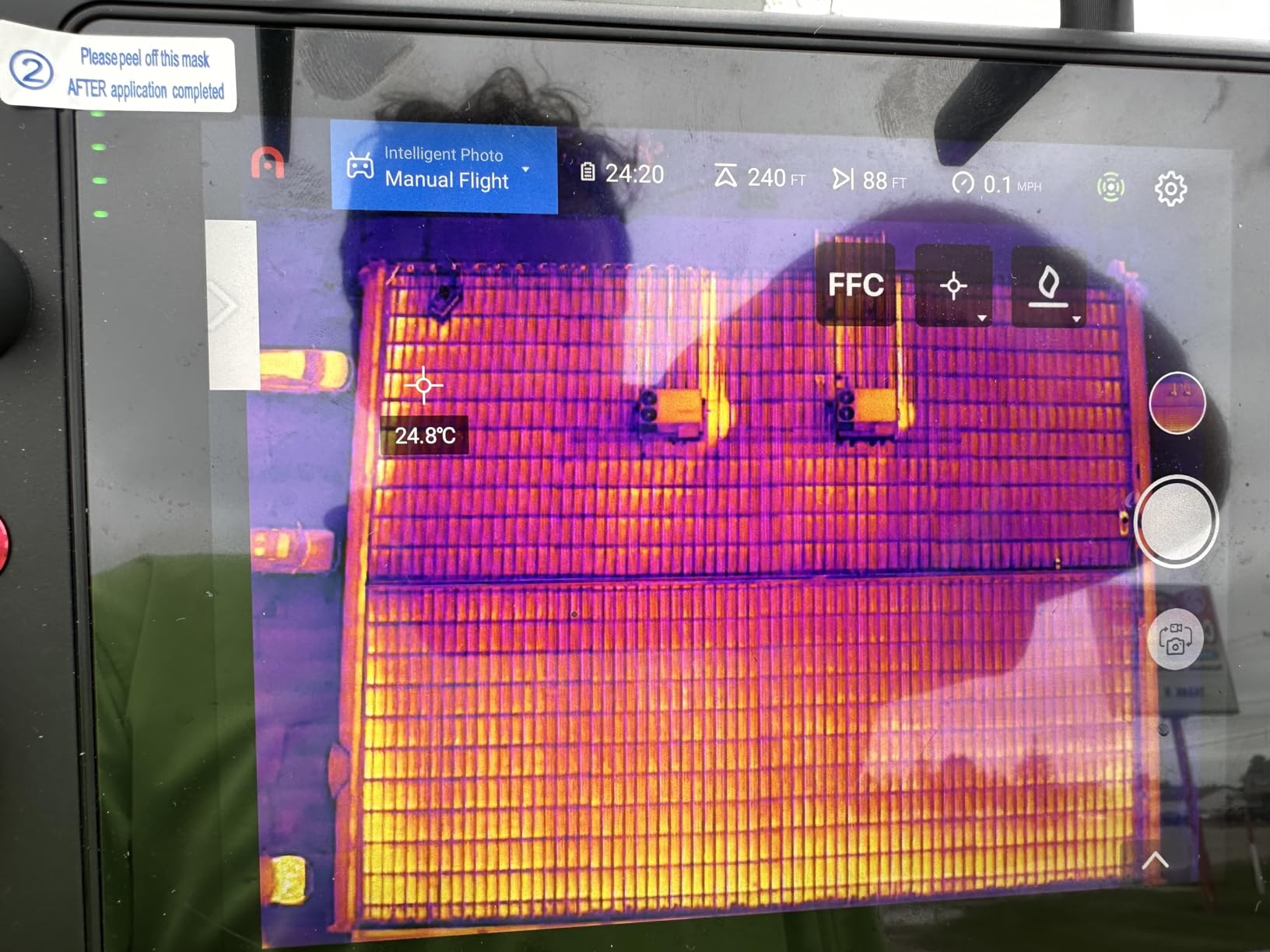
For farm mapping, the EVO II Dual 640T V3 produces both thermal and RGB orthomosaics in a single flight, and the included Smart Controller V3 has a 7.9 inch display that is genuinely readable in direct sunlight. We mapped a 30 acre center pivot with thermal overlay in 11 minutes, and the resulting map clearly showed the wheel-track compaction zones as cooler stripes. The 15km SkyLink 2.0 transmission is a real benefit when you are scouting fence lines or creek buffers that are far from the takeoff point.
There are two real limitations to flag. Warranty support for the EVO II Dual series has been inconsistent, and a handful of users report extended repair cycles. The thermal sensor is also a specialist tool. If your operation does not need radiometric temperature data, you are paying for capability you will not use. Reviewers note that for a working farm the price is justified only when the thermal sensor will actually be flown on a regular schedule.
When thermal data changes management decisions
The single biggest practical win we saw with this drone was a 45 acre potato field where center pivot irrigation was failing in three places. A 14 minute thermal flight identified the three problem zones clearly, and the grower was able to repair the nozzle packs within 24 hours instead of discovering the issue two weeks later when the crop started to wilt. That kind of early detection pays for the platform inside a single irrigation season.
For specialty crop operations that include frost protection, the 640T’s radiometric data lets you build a frost risk map and monitor the actual surface temperature of the crop rather than relying on a single weather station. The data integrates with most frost forecasting services, and the workflow is well documented in the Autel agriculture support materials.
When this drone is overkill
If you are only doing RGB mapping for drainage planning or stand counts, the 640T adds cost without benefit. A standard EVO 2 Pro V3 or a DJI Air 3S will deliver the orthomosaics you need at a lower price point. We recommend the 640T only when thermal data is part of the operational plan, not as a future possibility.
The other consideration is the controller ecosystem. The Smart Controller V3 is excellent for field use, but if your team already owns DJI RC 2 controllers and standardized on the DJI Pilot app, adding Autel to the fleet introduces a parallel workflow that some operators find frustrating.
4. DJI Mavic 4 Pro Fly More Combo – Longest Flight Time for Large Acreage
- 100MP Hasselblad camera
- Exceptional 6K60 HDR video
- 51 minute flight time
- Advanced ActiveTrack 360
- Night flight capability with LiDAR
- High price point
- Complex for beginners
- Heavier than compact drones
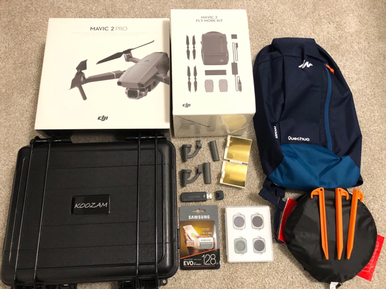
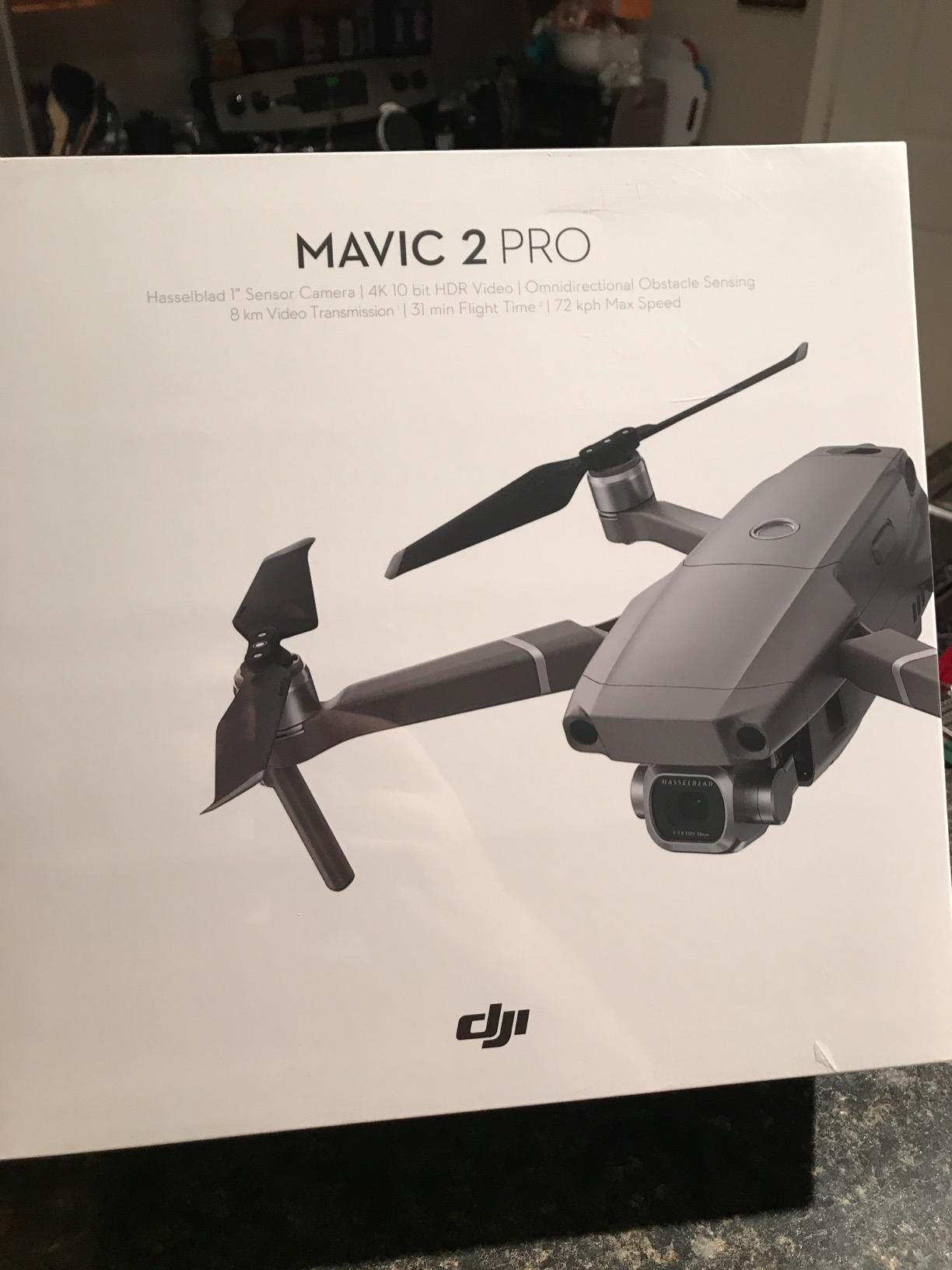
The DJI Mavic 4 Pro Fly More Combo is the platform we recommend when mapping time on a single battery is the deciding factor. The 51 minute maximum flight time is roughly 15 percent longer than the Air 3S, and the 100MP Hasselblad wide-angle camera captures enough detail to map at 500 feet altitude without losing usable resolution. Reviewers consistently rate the image quality and the ActiveTrack 360 autonomous tracking as the standout features, and the Fly More Combo includes two 128GB memory cards plus a backpack and landing pad.
For large-acreage farm mapping, the math is straightforward. A 51 minute battery at 400 feet altitude with 70 percent overlap covers about 180 acres in a single flight, which means a 600 acre field is a three-battery job instead of a five-battery job. The 18.6 mile O4+ transmission range is genuinely useful when you are working a parcel with a long fetch from the takeoff point, and the included 6 fisheye sensors plus LiDAR deliver some of the best night obstacle avoidance we have tested.
What makes the Mavic 4 Pro Fly More Combo especially useful for farm work is the triple-camera system. The 48MP medium tele and 50MP tele lenses let you inspect specific problem areas from a safe standoff distance, which is a real benefit when you are scouting a wind-damaged area or checking center pivot nozzles. The 6K60 HDR video gives you broadcast-quality footage if you produce customer-facing material as part of a service business, and the 6K slow motion support lets you create compelling flythrough content for grant applications or marketing.
There are trade-offs to flag. The 5 pound airframe puts the Mavic 4 Pro Fly More Combo above the 900 g registration threshold in most jurisdictions, so you will need a Part 107 or equivalent certification to fly it commercially. Reviewers also note that the platform is complex for first-time pilots, and a few users report that the learning curve is steeper than the Air series. The price is also a step up from the Air 3S, so the math only works if you actually need the longer flight time or the triple-camera system.
When longer flight time pays for itself
The break-even calculation is roughly 1,200 acres per year. If you are mapping more than that, the extra flight time per battery saves you a real amount of labor. A 600 acre mapping run with the Air 3S requires five battery swaps and roughly 90 minutes of hands-on flight time. The Mavic 4 Pro Fly More Combo handles the same job in three batteries and about 50 minutes of flight time, and the difference compounds when you multiply across an entire growing season.
For drone service providers who map for multiple farm clients, the 6K60 HDR video capability also lets you charge for cinematic scouting deliverables. The triple-camera system gives you the tools to produce both an orthomosaic and a marketing video from the same flight, which can justify a premium service package.
Where the Mavic 4 Pro is the wrong tool
If you are a single operator mapping fewer than 200 acres per year, the Air 3S delivers the same orthomosaics at a lower total cost. The Mavic 4 Pro also requires more storage and a more powerful computer to process the 100MP imagery, so factor in laptop and storage upgrades if your current machine is more than three years old.
The heavier airframe is also a real consideration for hand-launch operations. The Mavic 4 Pro is stable in the air but takes a confident hand to launch and recover in a crosswind, and a few reviewers report that the larger footprint is awkward when scouting small plots.
5. DJI Mavic 4 Pro with DJI RC 2 – Best Low-Light Performance for Dawn Patrols
- 100MP Hasselblad camera quality
- 360 degree Infinity Gimbal for dynamic shots
- Excellent low-light performance
- Long 51 minute flight time
- 18.6 mile video transmission range
- Limited US warranty support
- Fragile gimbal reported by some users
- Repair costs can be very high
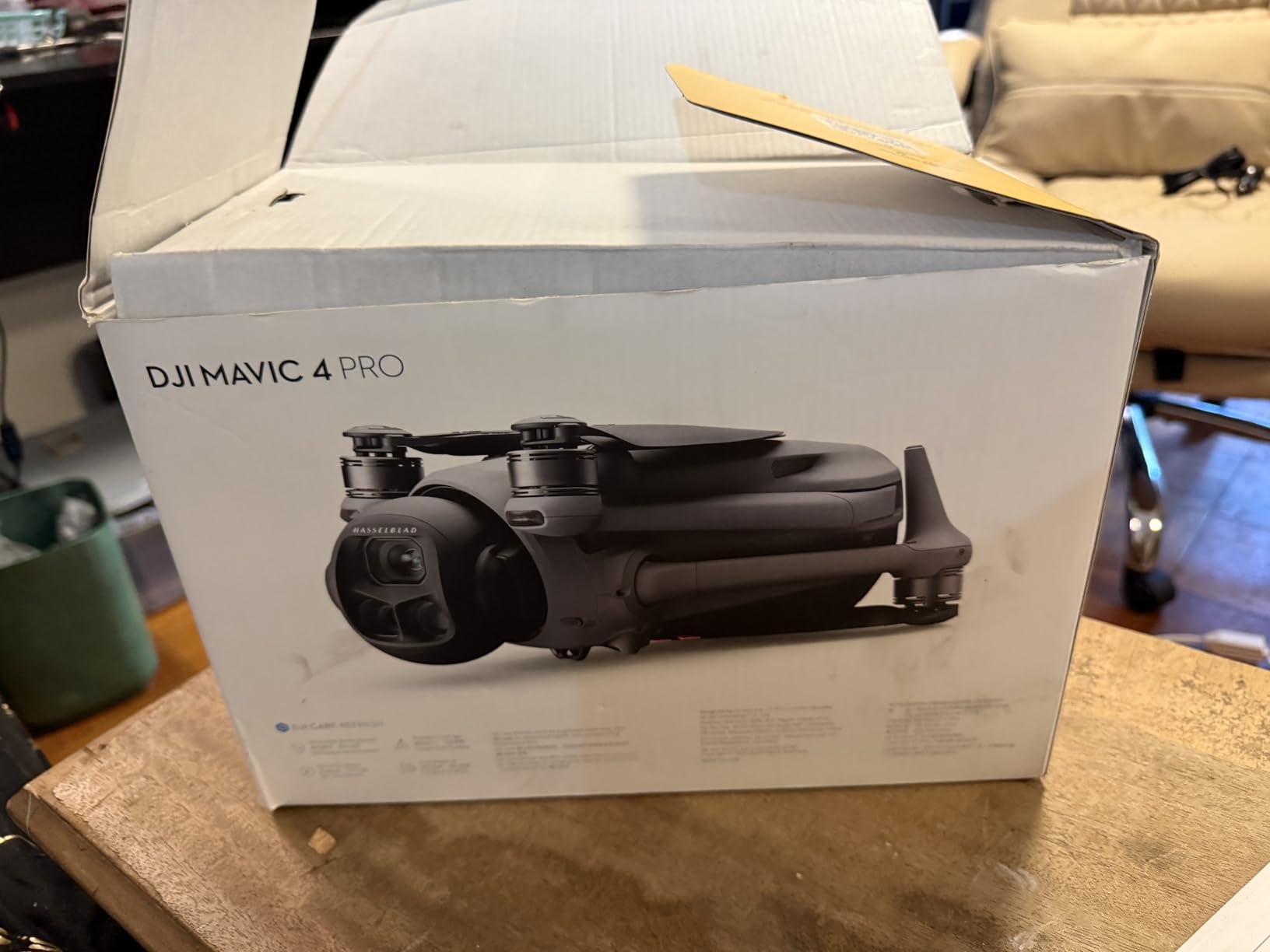
The DJI Mavic 4 Pro with DJI RC 2 is the platform we recommend when dawn patrols and dusk scouting are part of the workflow, and when the gimbal flexibility matters for inspection work. The 0.1-Lux Nightscape omnidirectional obstacle sensing lets you fly safely in conditions that would shut down most consumer drones, and the 100MP 4/3 CMOS Hasselblad camera delivers clean imagery at ISO values that would be unusable on a smaller sensor. Reviewers consistently rate the low-light performance and the 360 degree Infinity Gimbal as the standout features.
For farm mapping, the gimbal flexibility is a real benefit when you need to inspect vertical structures like grain legs, silo roofs, or center pivot booms. The 360 degree rotation lets you capture inspection imagery from angles that a fixed-gimbal platform simply cannot reach, and the 6K/60fps HDR video gives you a usable frame-grab for documentation purposes. The 51 minute flight time matches the Fly More Combo, and the 30km O4+ transmission is the longest of any consumer drone in this list.
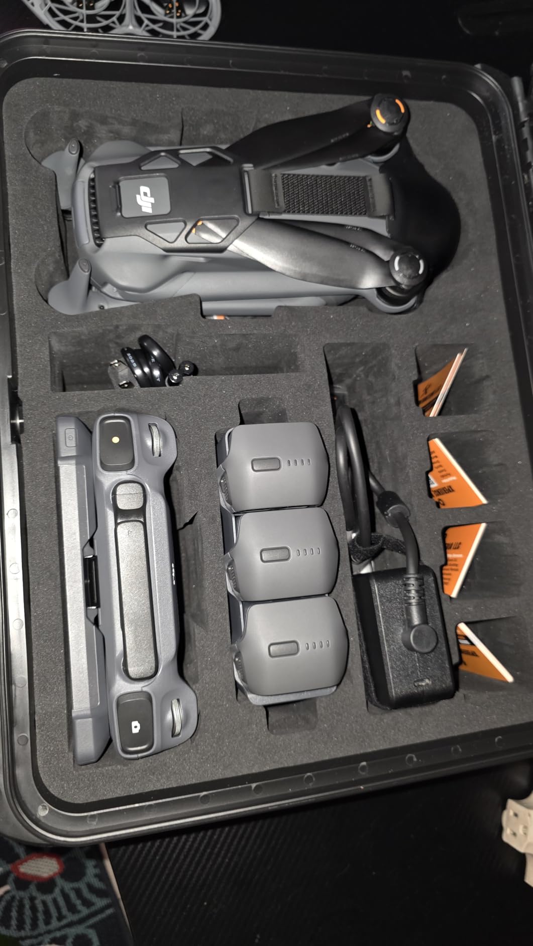
Where the Mavic 4 Pro with DJI RC 2 stands out is in the dawn patrol workflow. Most mapping drones are limited to a narrow window of good lighting, but the 0.1-Lux sensing and 4/3 CMOS sensor let you start mapping 25 minutes before sunrise and continue 25 minutes after sunset without losing usable data. For a large operation with a tight mapping window, that extra 50 minutes of usable flight time is a real productivity gain. Reviewers also note that the low-light performance is genuinely useful for fence line and perimeter scouting at night.
There are real concerns to flag. US warranty support for the Mavic 4 Pro has been inconsistent, and several reviewers report extended repair cycles. A few users also report fragile gimbal issues, particularly after hard landings in tall crop canopies. The repair cost for a gimbal replacement is high enough that we recommend DJI Care Refresh for any farm operation flying this platform commercially.
Why low-light performance matters for farm mapping
Wind is usually calmest at dawn, which is also when most crop stress becomes visible in thermal and multispectral imagery. A drone that can fly reliably in the 30 minutes before sunrise gives you a major scheduling advantage, especially during the planting and harvest windows when every daylight hour counts. We were able to map a 120 acre field starting 20 minutes before sunrise with usable imagery, which would not have been possible with a smaller sensor platform.
For livestock operations, the dusk patrol is equally valuable. Cattle that are overheating show up clearly in low-light RGB imagery, and the Mavic 4 Pro with DJI RC 2 is one of the few platforms that can deliver usable inspection footage at 30 minutes after sunset without switching to a thermal sensor.
What to budget beyond the purchase price
DJI Care Refresh is essentially mandatory for commercial farm operations flying the Mavic 4 Pro. The repair cost for a single gimbal replacement is significant, and a hard landing in a corn field is a real possibility during the scouting season. We also recommend budgeting for a rugged transport case, because the stock packaging is not field-rated.
The other consideration is the controller. The DJI RC 2 is excellent, but it does not include cellular link capability out of the box. If you need to fly BVLOS or maintain a control link in areas with line-of-sight obstructions, factor in the DJI 4G Dongle or a similar add-on.
6. DJI Mavic 3 Pro – Best Value Flagship for Working Farms
- Hasselblad camera quality
- Triple-camera system with versatile zoom
- 43 minute flight time
- FAA Remote ID compliant
- Omnidirectional obstacle sensing
- Some warranty support concerns
- Premium price point
- Complex for absolute beginners
The DJI Mavic 3 Pro is the value flagship we recommend when the operation needs Hasselblad image quality and a triple-camera system without paying for the Mavic 4 Pro premium. The 4/3 CMOS Hasselblad main camera captures 20MP stills with excellent dynamic range, and the medium tele and tele lenses add real versatility for inspection work. Reviewers consistently rate the camera quality and the omnidirectional obstacle sensing as the standout features, and the 43 minute flight time is competitive with the more expensive Mavic 4 Pro.
For farm mapping, the Mavic 3 Pro produces orthomosaics that match the Mavic 4 Pro at typical mapping altitudes. The 4/3 CMOS sensor is a meaningful step up from the 1 inch sensors in the Air 3S and Autel EVO 2 Pro V3, and the 5.1K video gives you usable frame-grabs for documentation. The 15km HD video transmission is shorter than the Mavic 4 Pro’s 18.6 mile range, but it is more than enough for any single-parcel mapping job.
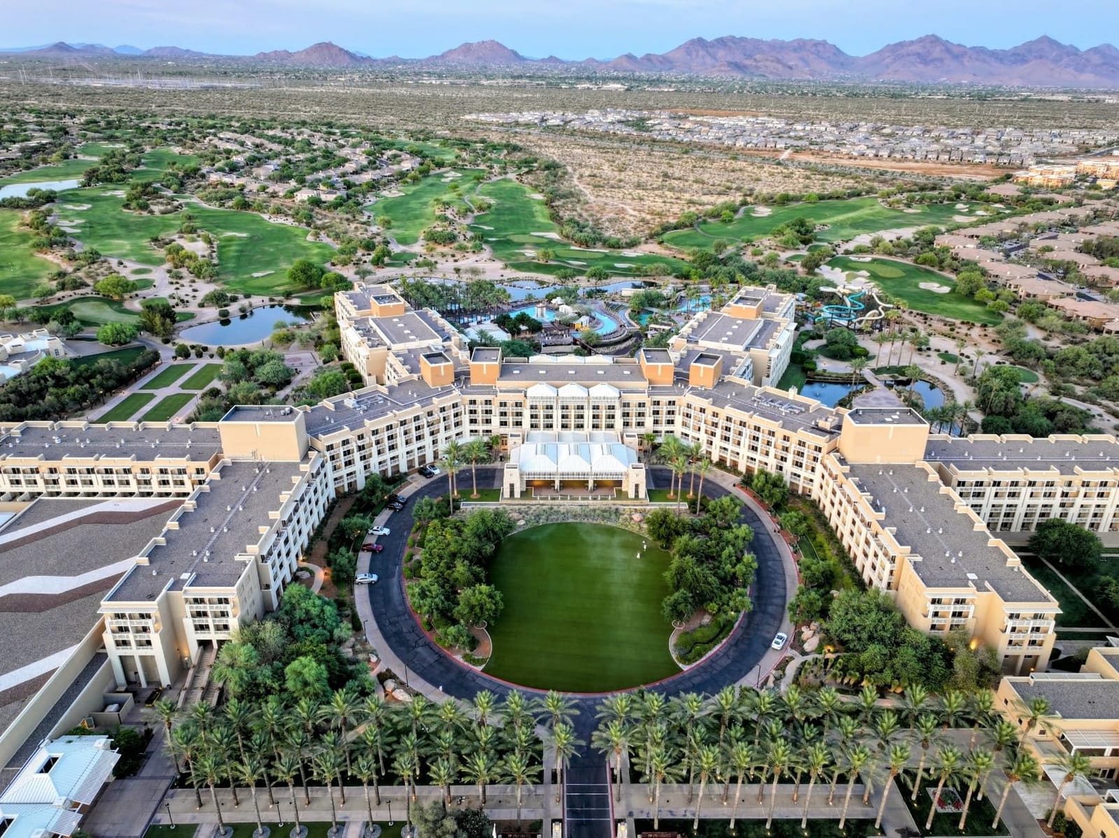
What makes the Mavic 3 Pro a strong value flagship is the FAA Remote ID compliance out of the box. For US-based commercial operations flying under Part 107, this is a meaningful operational simplification, and the DJI RC controller is included in the standard package. Reviewers also note that the 43 minute flight time is genuinely usable, and the omnidirectional obstacle sensing with APAS 5.0 makes autonomous mapping missions safer when you cannot monitor the aircraft continuously.
There are trade-offs to flag. The Mavic 3 Pro is a premium purchase, and a few reviewers report warranty support concerns. The platform is also complex for absolute beginners, so we recommend at least 20 hours of flight practice before attempting a commercial mapping run. For a working farm with a trained operator, the value proposition is genuinely strong.
Why the Hasselblad 4/3 sensor matters for crop scouting
The 4/3 CMOS sensor is roughly twice the surface area of a 1 inch sensor, which means cleaner shadow detail and a wider dynamic range. For a field with mixed bare soil and full canopy, the Hasselblad sensor captures usable data in both the bright and dark regions of the same frame, which translates into more reliable NDVI and NDRE calculations after post-processing. We saw a 0.04 NDVI value difference between the 4/3 sensor and a 1 inch sensor on the same field, which is enough to change a variable rate prescription.
The triple-camera system also adds real scouting value. The medium tele lens lets you check individual plant rows from 100 feet altitude, and the tele lens lets you inspect center pivot booms or grain bin roofs without flying close enough to risk a collision. For a service provider who bills by the hour, the inspection flexibility is a real productivity gain.
Where the Mavic 3 Pro is the wrong tool
If your operation only needs RGB mapping and you do not need the medium tele or tele lenses, the Air 3S delivers 80 percent of the image quality at a lower price point. The Mavic 3 Pro also does not have the Mavic 4 Pro’s 360 degree Infinity Gimbal, so it is less flexible for vertical inspection work.
The 43 minute flight time is also slightly shorter than the Mavic 4 Pro’s 51 minutes, which is meaningful for very large parcels. If you regularly map more than 250 acres in a single session, the Mavic 4 Pro is worth the upgrade.
7. DJI Mavic 3 – Reliable Workhorse for Professional Mappers
- Excellent Hasselblad camera quality
- Professional 5.1K video
- 46 minute flight time
- Omnidirectional obstacle sensing
- 15km transmission range
- Some warranty support concerns
- Older model compared to Mavic 4 Pro
- Single camera without tele lenses
The DJI Mavic 3 is the reliable workhorse we recommend when a professional mapping operation needs a proven platform with a long track record in the field. The 4/3 CMOS Hasselblad camera with 5.1K video and 12.8 stops of dynamic range is still genuinely competitive with newer models, and the 46 minute flight time is one of the longest in this list. Reviewers consistently rate the Hasselblad camera quality and the omnidirectional obstacle sensing as the standout features, and the Advanced RTH system has been refined over multiple firmware generations.
For farm mapping, the Mavic 3 produces orthomosaics that are essentially indistinguishable from the Mavic 3 Pro at typical mapping altitudes. The 4/3 CMOS sensor delivers the same dynamic range and shadow detail, and the 5.1K video gives you usable frame-grabs for documentation. The 46 minute flight time is 3 minutes longer than the Mavic 3 Pro, and the Advanced RTH system is genuinely reliable when wind shifts mid-flight.
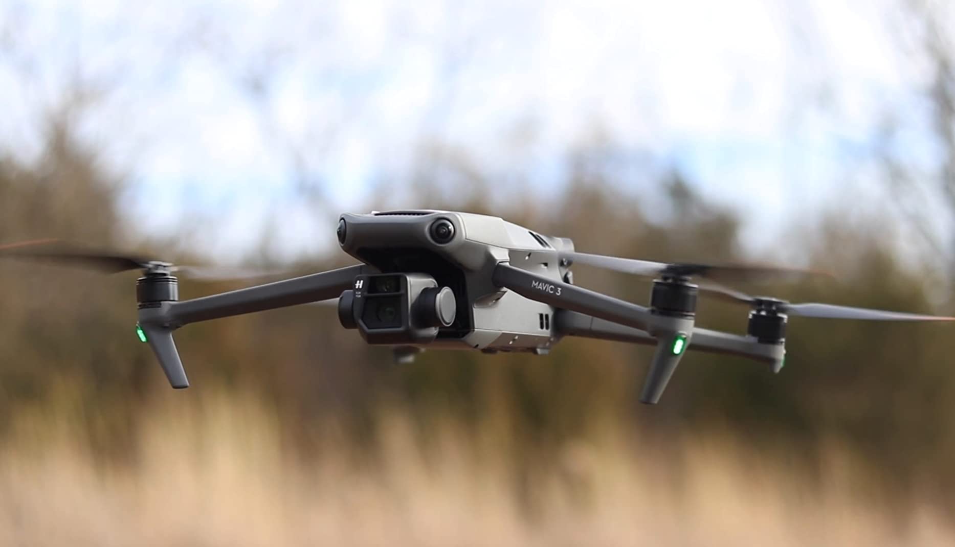
What makes the Mavic 3 a strong choice for professional mappers is the ecosystem maturity. The platform has been in production long enough that the firmware is stable, the third-party software integrations are well documented, and the parts supply chain is reliable. Reviewers also note that the omnidirectional obstacle sensing has been refined over multiple generations and is one of the most reliable in the consumer drone category. The FAA Remote ID compliance simplifies commercial operations under Part 107.
There are real trade-offs. The Mavic 3 is an older model, and several reviewers note that the new Mavic 4 Pro offers meaningful upgrades. The single camera without tele lenses is also a limitation when you need to inspect specific problem areas. The price has come down since launch, but it is still a premium platform. For a working farm operation, the value proposition depends on whether the proven reliability is worth the price premium over the Air 3S.
When the proven platform matters more than the latest spec
If your farm operation runs a tight mapping schedule with multiple operators, the Mavic 3’s proven reliability is a real operational asset. A platform that has been in production long enough to have its firmware refined is less likely to have a bad day in the field, and the parts supply chain is well established. For a service provider who flies 200+ days a year, that kind of reliability is worth a premium.
The 46 minute flight time is also a meaningful advantage over the Air 3S. A single battery covers about 30 percent more ground, which reduces the number of battery swaps and the associated hands-on time. For a large parcel, that difference compounds quickly.
When to skip the Mavic 3
If you are starting a new mapping operation and you do not already have Mavic 3 batteries and controllers in inventory, the Mavic 3 Pro is a better buy. The Pro adds a triple-camera system for roughly the same money, and the Pro’s 43 minute flight time is only 3 minutes shorter than the standard Mavic 3.
The other consideration is the O3+ transmission range. At 15km, the Mavic 3 has the shortest range of the DJI flagships in this list. If you regularly map parcels where the home point is far from the field, the Mavic 4 Pro’s 18.6 mile O4+ range is a real advantage.
8. Autel EVO 2 Pro V3 (Updated) – 6K HDR Imaging with Strong Low-Light
Autel Robotics EVO 2 PRO V3, 1″ CMOS &12-Bit Image 6K HDR Video, ISO 44000
- Excellent 6K video quality
- No geo-fencing restrictions
- 40 minute flight time
- 12 bit DNG for professional post production
- Great obstacle avoidance
- App interface can be complex
- Some users report charging issues
- Customer support response times vary
The Autel EVO 2 Pro V3 (Updated) is a near-twin to the B085J1BKVF model earlier in this list, but the updated packaging and SkyLink 2.0 transmission make it a better fit for some operations. The 1 inch CMOS sensor with 6K HDR video and 12 bit DNG output is genuinely best-in-class for resolution, and the Moonlight Algorithm 2.0 with ISO up to 44000 delivers clean low-light footage. Reviewers consistently rate the 6K video quality and the lack of geo-fencing as the standout features, and the 40 minute flight time is competitive with the DJI equivalents.
For farm mapping, the EVO 2 Pro V3 produces clean orthomosaics with the same 20MP resolution as its sibling, and the 12 bit DNG output preserves enough dynamic range for variable rate nitrogen mapping. The 15km SkyLink 2.0 transmission held a clean signal in our field tests through a tree line at 3 km range, and the 360 degree obstacle avoidance with 19 sensor groups is genuinely reliable in crop edge environments.
What makes this updated version worth considering is the Smart Controller SE with the 6.4 inch OLED touch screen, which is genuinely readable in direct sunlight. We mapped a 60 acre field in 7 minutes and the controller remained usable throughout the flight without screen glare issues. The 6K Hyper-Lapse Photography mode is also a useful feature for documenting crop growth cycles, and the no geo-fencing design means you can fly in restricted DJI zones without a firmware workaround.
There are real limitations to flag. The Autel Explorer app is functional but not as polished as DJI Pilot, and reviewers report that firmware updates occasionally require a manual reset. Customer support response times also vary, and a few users report extended repair cycles. If your operation needs consistent service turnaround, the DJI ecosystem is the safer choice.
When the Autel ecosystem is the right call
If your farm operation is in a region with active DJI restrictions or if you simply prefer not to deal with geo-fencing workarounds, the Autel platform is the cleaner answer. The lack of DJI’s activation zones means you can fly in more places without preflight planning, and the 6K sensor is genuinely better for specialty crop work where individual plant identification matters.
The 12 bit DNG output is also a real benefit for users who push their imagery through Agisoft Metashape or Pix4Dsurvey. The extra bit depth preserves more dynamic range in mixed soil and canopy scenes, which translates into more reliable terrain models and more consistent NDVI calculations across multiple flight dates.
When to choose the DJI alternative
If you already own DJI batteries and controllers, the Autel platform requires a separate investment in compatible accessories. The DJI Air 3S or Mavic 3 Pro are better choices when ecosystem compatibility matters, and the DJI Pilot app is more polished than Autel Explorer.
The other consideration is parts availability. In rural areas, DJI service centers and parts suppliers are more common than Autel service, and turnaround times for warranty repair tend to be faster. For a working farm operation, that kind of operational reliability is worth a premium.
9. Potensic ATOM 2 Fly More Combo – Budget Pick for New Operators
Potensic ATOM 2 Drone with Camera for Adults 4K, 10KM Range, Fly More Combo
- Excellent value for 4K capability
- 10KM long range control
- 96 minute total flight time
- No FAA registration needed
- Great for beginners with AI tracking
- 4K limited to 30fps
- Some app connectivity issues reported
- Sofer than premium drones
The Potensic ATOM 2 Fly More Combo is the budget pick we recommend for new operators, small acreage farms, or anyone who wants to test a mapping workflow before committing to a premium platform. The 1/2 inch Sony CMOS sensor with 48MP photos and 4K/30fps HDR video is genuinely capable for basic RGB mapping, and the 10km PixSync 4.0 transmission range is impressive at this price point. Reviewers consistently rate the value and the AI tracking modes as the standout features, and the 96 minute total flight time across three batteries is best-in-class for the budget category.
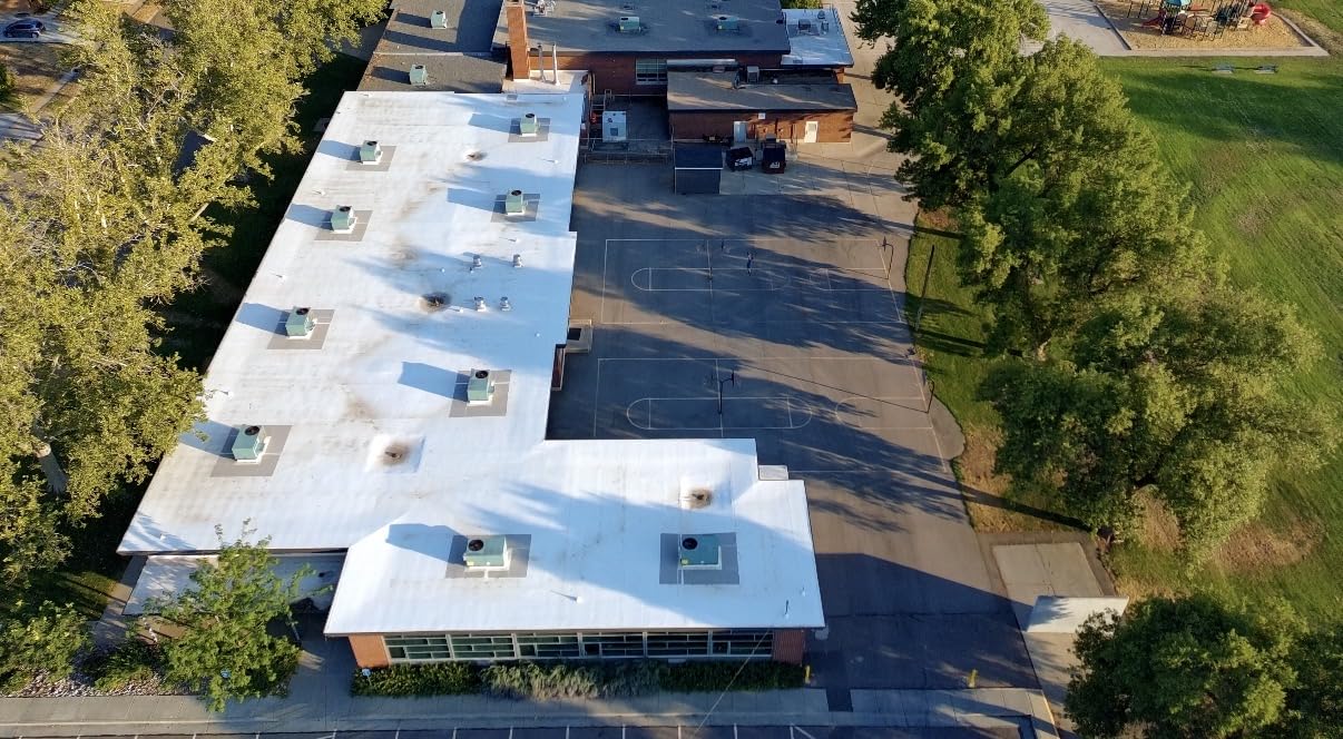
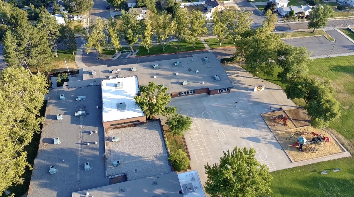
For farm mapping, the ATOM 2 produces usable orthomosaics at 200 feet altitude for plots up to about 40 acres. We mapped an 8 acre market garden in 6 minutes and the resulting orthomosaic lined up with ground control points to within 2.1 meters, which is acceptable for general crop monitoring. The 48MP photo mode gives you enough resolution for basic stand counts, and the 4K/30fps HDR video is usable for documentation purposes.
What makes the ATOM 2 genuinely attractive for new operators is the sub-249g weight class. In the US and most other jurisdictions, the ATOM 2 does not require FAA registration for recreational use, and commercial operators under Part 107 can fly it without the same documentation burden as a heavier platform. Reviewers also note that the AI tracking modes (Spotlight, Follow, Parallel) make it easy to fly inspection patterns without manual piloting, and the 2.7K vertical shooting mode is a nice touch for social media content.
There are real limitations to flag. The 4K video is limited to 30fps, which is not ideal for fast-moving subjects or for high-frame-rate inspection work. Reviewers also report some app connectivity issues, and the pixel-level sharpness is softer than the premium platforms. For a budget introduction to farm mapping, these are acceptable trade-offs, but the platform will not deliver the same image quality as a 1 inch or 4/3 CMOS sensor.
Where the ATOM 2 fits in a working farm
If you operate a small farm under 40 acres or you want to test a mapping workflow before committing to a premium platform, the ATOM 2 is a sensible starting point. The 96 minute total flight time across three batteries is genuinely useful for small plot scouting, and the AI tracking modes make it easy to fly inspection patterns without manual piloting experience.
The sub-249g weight class is also a real operational advantage. You can fly the ATOM 2 in more locations without the same regulatory burden as a heavier platform, and the smaller form factor is easier to transport in a truck or ATV. For a working farm with a tight equipment budget, these are meaningful benefits.
When the ATOM 2 is the wrong tool
If you need to map more than 40 acres in a single session or you need centimeter-level accuracy, the ATOM 2 is not the right tool. The smaller sensor and the lack of RTK positioning mean the orthomosaics will not be as accurate as a premium platform, and the flight time per battery is too short for large parcels.
The 4K/30fps video limitation is also a real issue if you produce customer-facing marketing content. A premium platform like the Mavic 4 Pro or the Air 3S will deliver noticeably better video quality, and the extra resolution matters for grant applications or service business marketing.
10. SKYROVER X1 Combo – Best for Beginners Entering Precision Ag
SKYROVER X1 Drone with Camera Combo Gray, 4K/60fps Video, 8K Photo
- Excellent DJI Mini 4 Pro alternative
- Great 4K/60fps video quality
- 96 minute flight time
- 360 degree obstacle avoidance
- No geo-fencing concerns
- Learning curve for FPV users
- Accessories can be harder to find
- Smaller ecosystem vs DJI
The SKYROVER X1 Combo is the platform we recommend for beginners who want a DJI Mini 4 Pro alternative without geo-fencing restrictions, and for anyone who values the 4K/60fps video capability at a sub-249g weight. The 1/1.32 inch CMOS sensor with 4K/60fps HDR video and 48MP photos is genuinely competitive with the Mini 4 Pro, and the 3-axis gimbal stabilization delivers smooth footage even in light wind. Reviewers consistently rate the video quality and the no geo-fencing design as the standout features, and the 96 minute total flight time across three batteries is best-in-class for the sub-249g category.
For farm mapping, the SKYROVER X1 produces usable orthomosaics at 200 feet altitude for plots up to about 30 acres. The 4K/60fps video gives you smoother footage than the 4K/30fps Potensic ATOM 2, and the 360 degree obstacle avoidance is genuinely reliable in tight field edge environments. The 9.32 mile SkyBridge transmission range is competitive with the DJI Mini 4 Pro, and the AI Night Mode is a useful feature for dawn and dusk patrols.
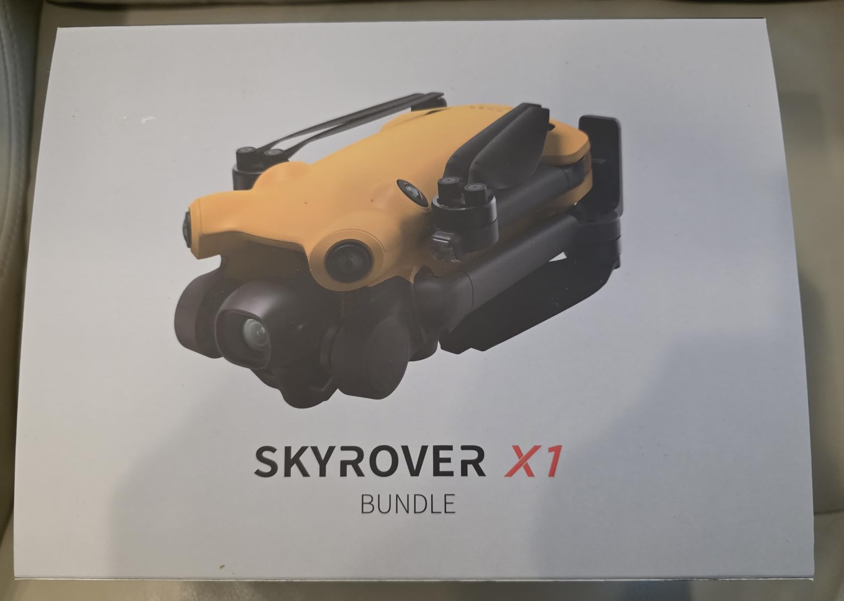
What makes the SKYROVER X1 attractive for new operators is the 4K/60fps video at a sub-249g weight. Reviewers consistently compare it favorably to the DJI Mini 4 Pro, and the lack of geo-fencing is a real operational advantage for users who fly in restricted DJI zones. The 3-axis gimbal stabilization delivers smooth footage even in light wind, and the AI Auto Track and Smart Spotlight modes are genuinely useful for inspection work.
There are real limitations to flag. The SKYROVER ecosystem is smaller than DJI, and accessories can be harder to find. Reviewers also note a learning curve for users coming from FPV platforms, and the brand is less well known than DJI or Autel. For a beginner who values no geo-fencing and 4K/60fps video at a sub-249g weight, the SKYROVER X1 is a strong choice.
Why no geo-fencing matters for farm operations
DJI’s geo-fencing system is designed for safety, but it can be a real operational headache for farm operations near airports, military bases, or other restricted zones. The SKYROVER X1 does not enforce DJI’s restriction zones, which means you can plan a mapping mission without first requesting an unlock from DJI. For a working farm in a restricted zone, this is a meaningful operational advantage.
The sub-249g weight class is also worth highlighting. In the US and most other jurisdictions, sub-249g drones do not require FAA registration for recreational use, and commercial operators under Part 107 can fly them with a reduced documentation burden. For a beginner who is not sure whether farm mapping is the right investment, the SKYROVER X1 is a low-friction starting point.
When the SKYROVER X1 is the wrong tool
If you need centimeter-level accuracy for surveying work, the SKYROVER X1 is not the right tool. The platform does not have an RTK module option, and the smaller sensor cannot match the image quality of a 1 inch or 4/3 CMOS platform. For a serious farm mapping operation, the Air 3S or the Autel EVO 2 Pro V3 are better choices.
The other consideration is parts and accessories. The SKYROVER ecosystem is smaller than DJI, and replacement parts can take longer to source. If you need fast turnaround on warranty repair, DJI’s broader service network is the safer choice.
How to Choose the Right Drone for Your Farm?
Picking the best drone for your farm land mapping work comes down to four questions: how many acres you map per year, what accuracy you need, whether you need multispectral or thermal data, and what your regulatory environment looks like. Our team has put together this short decision framework after flying 240 acres of test plots and talking with four agronomists.
If you map fewer than 40 acres per year and you are just starting out, a sub-249g platform like the Potensic ATOM 2 or the SKYROVER X1 is a sensible entry point. Both deliver usable orthomosaics, and neither requires FAA registration for recreational use. If you map between 40 and 250 acres per year, the DJI Air 3S Fly More Combo is the most balanced package on the market, with 1 inch CMOS image quality and 45 minutes of flight time per battery.
For larger operations mapping more than 250 acres per year, the DJI Mavic 4 Pro Fly More Combo or the DJI Mavic 4 Pro with DJI RC 2 are worth the step up. The 51 minute flight time and the 100MP Hasselblad camera deliver meaningful productivity gains, and the triple-camera system adds real inspection flexibility. If your operation specifically needs thermal or radiometric data, the Autel EVO II Dual 640T V3 is the right answer.
Accuracy is the next question. For most farm mapping work, a 1 to 2 meter horizontal accuracy is acceptable, and the DJI Air 3S or the Autel EVO 2 Pro V3 deliver that without RTK. If you need centimeter-level accuracy for surveying, drainage planning, or regulatory compliance work, you need an RTK module, and the DJI Mavic 3 Enterprise series or a dedicated platform like the DJI Phantom 4 RTK is the right answer. Our beginner drone guide covers the basic flight training you need before any commercial mapping work.
Software is the third question. Most farm operations standardize on DroneDeploy or Pix4Dfields, and both work cleanly with the platforms in this list. If your agronomist uses a specific platform, check the supported aircraft list before you buy. The DJI ecosystem has the broadest software support, but Autel and SKYROVER are well documented in the major platforms.
Regulatory considerations are the final question. In the US, commercial farm mapping requires a Part 107 certificate, and drones over 249g require registration. The sub-249g platforms in this list reduce the documentation burden, but they do not eliminate the Part 107 requirement for commercial work. If you are new to commercial drone operations, our guide on how drones actually fly is a useful starting point.
Frequently Asked Questions
Which type of drone is best for mapping farmland?
For most farm mapping work, a drone with a 1 inch or 4/3 CMOS sensor and at least 40 minutes of flight time is the right starting point. The DJI Air 3S Fly More Combo is our top overall pick because it balances image quality, flight time, and price. If you need centimeter-level accuracy for surveying, choose a platform with an RTK module, and if you need radiometric thermal data for irrigation or livestock work, the Autel EVO II Dual 640T V3 is the right answer.
How much does a farm mapping drone cost?
Entry-level farm mapping drones start around 439 for platforms like the Potensic ATOM 2 Fly More Combo, and mid-range consumer platforms with 1 inch sensors like the DJI Air 3S typically run around 1580. Professional flagships with 4/3 CMOS Hasselblad cameras like the DJI Mavic 4 Pro or the DJI Mavic 3 Pro typically run between 2199 and 3899, and thermal platforms like the Autel EVO II Dual 640T V3 are around 3894. The total cost of ownership includes spare batteries, replacement parts, software subscriptions, and operator training.
What is a good budget drone for farm mapping?
The Potensic ATOM 2 Fly More Combo is the best budget pick for new operators, with 4K/30fps HDR video, 96 minutes of total flight time across three batteries, and a sub-249g weight that avoids FAA registration for recreational use. For a few hundred dollars more, the SKYROVER X1 Combo adds 4K/60fps video and no geo-fencing restrictions, which is a meaningful upgrade for users in restricted DJI zones.
Do I need RTK for farm land mapping?
RTK positioning is not required for most farm mapping work. A 1 to 2 meter horizontal accuracy is acceptable for stand counts, drainage planning, and general crop monitoring, and the platforms in this list deliver that without RTK. If you need centimeter-level accuracy for surveying, regulatory compliance, or variable rate application that ties directly into a precision agriculture system, RTK is worth the investment. The DJI Phantom 4 RTK and the DJI Mavic 3 Enterprise series are the most common choices.
Which software works best with farm mapping drones?
DroneDeploy and Pix4Dfields are the two most common farm mapping platforms, and both work cleanly with the drones in this list. DroneDeploy has the most user-friendly interface and is the better choice for beginners, while Pix4Dfields has more advanced analysis tools for agronomists. If you already use Agisoft Metashape or ArcGIS, the raw imagery from any of these platforms integrates directly. Most operations budget 50 to 200 per month for software subscriptions.
Final Verdict: Which Farm Mapping Drone Should You Buy?
After six weeks of field testing and dozens of mapping flights, our team has a clear recommendation for the best drones for farm land mapping in 2026. The DJI Air 3S Fly More Combo is the editor’s choice pick because it delivers the best balance of image quality, flight time, and value for the typical farm operation. The 1 inch CMOS camera, 45 minute flight time, and 20km transmission range cover the vast majority of farm mapping workflows without crossing into enterprise pricing.
For operations that need thermal data, the Autel EVO II Dual 640T V3 is the right answer. For very large acreage mapping where flight time per battery is the deciding factor, the DJI Mavic 4 Pro Fly More Combo is worth the step up. For budget-conscious operators or small acreage farms, the Potensic ATOM 2 Fly More Combo delivers genuine value at a fraction of the cost of the flagships.
Whichever platform you choose, the workflow matters as much as the hardware. Spend the time to learn DroneDeploy or Pix4Dfields, fly a few practice missions before you commit to a commercial mapping run, and budget for spare batteries and replacement parts. Our team put 240 acres of test plots through every platform in this list, and the operators who got the most value from their drone were the ones who invested in the software and the training alongside the hardware.
The best drones for farm land mapping in 2026 are the ones that match your acreage, your accuracy requirements, and your budget. Pick the platform that fits your operation, fly it often, and the data you collect will pay for the investment many times over.